Purakaunui Area, Purakaunui Postcode(9081) & Map in Purakaunui
Purakaunui Area, Purakaunui Postcode(9081) & Map in Purakaunui, Dunedin City, New Zealand
Purakaunui, Dunedin City, New Zealand
Purakaunui Postcodes
Purakaunui Area (estimated)
5.6 square kilometersPurakaunui Population (estimated)
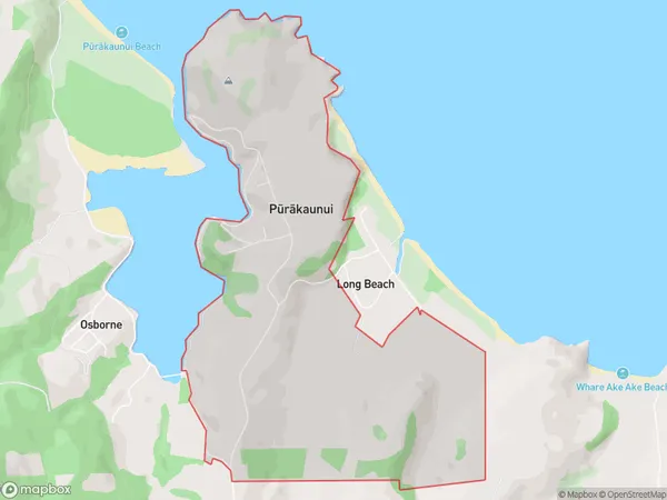
149 people live in Purakaunui, Otago, NZPurakaunui Suburb Area Map (Polygon)
Purakaunui Introduction
Purakaunui is a small coastal town in Otago, New Zealand, located on the southern shore of the Otago Harbour. It is known for its stunning natural beauty, including rugged cliffs, sandy beaches, and a picturesque lighthouse. The town has a population of around 200 people and is a popular destination for tourists and outdoor enthusiasts. It is also home to a small fishing community and a marine research station.Region
Major City
Suburb Name
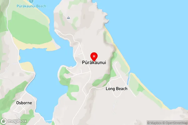
Purakaunui (Maori Name: Pūrākaunui)Purakaunui Area Map (Street)
Local Authority
Dunedin CityFull Address
Purakaunui, Dunedin City, New ZealandAddress Type
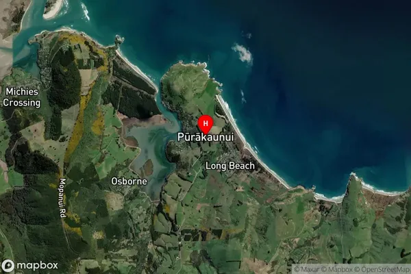
Locality in Major Locality Port ChalmersPurakaunui Suburb Map (Satellite)
Country
Main Region in AU
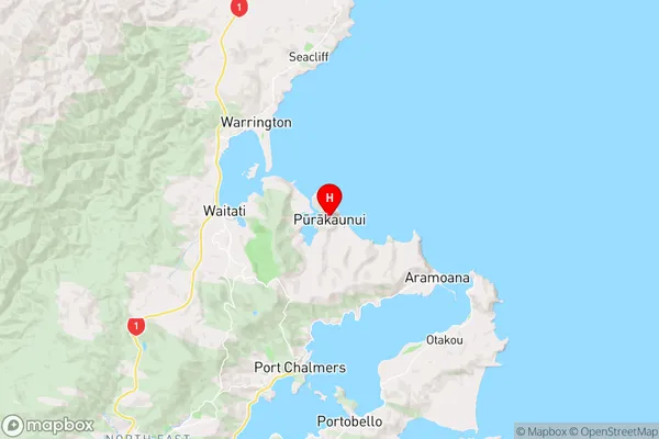
OtagoPurakaunui Region Map
Coordinates
-45.7516247,170.6384044 (latitude/longitude)Distances
The distance from Purakaunui, Port Chalmers, Dunedin City to NZ Top 10 Cities