Waitati Area, Waitati Postcode(9016) & Map in Waitati
Waitati Area, Waitati Postcode(9016) & Map in Waitati, Dunedin City, New Zealand
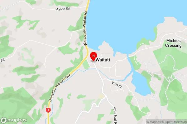
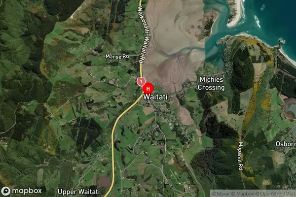
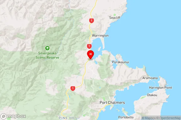
Waitati, Dunedin City, New Zealand
Waitati Area (estimated)
-1.2 square kilometersWaitati Population (estimated)
784 people live in Waitati, Otago, NZWaitati Suburb Area Map (Polygon)
Not available for nowWaitati Introduction
Waitati is a small coastal town in Otago, New Zealand, known for its beautiful beaches, historic buildings, and vibrant arts community. It is located at the mouth of the Waitati River and is surrounded by stunning natural scenery, including the Otago Peninsula and the Southern Alps. The town has a population of around 2,000 people and is a popular destination for tourists and locals alike.Region
Major City
Suburb Name
WaitatiOther Name(s)
OrokonuiWaitati Area Map (Street)
Local Authority
Dunedin CityFull Address
Waitati, Dunedin City, New ZealandAddress Type
Locality in Town WaitatiWaitati Suburb Map (Satellite)
Country
Main Region in AU
OtagoWaitati Region Map
Coordinates
-45.7483041,170.5703578 (latitude/longitude)Distances
The distance from Waitati, Waitati, Dunedin City to NZ Top 10 Cities