Coastlands Area, Coastlands Postcode(3191) & Map in Coastlands
Coastlands Area, Coastlands Postcode(3191) & Map in Coastlands, Whakatane District, New Zealand
Coastlands, Whakatane District, New Zealand
Coastlands Area (estimated)
17.0 square kilometersCoastlands Population (estimated)
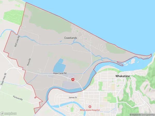
2102 people live in Coastlands, Bay of Plenty, NZCoastlands Suburb Area Map (Polygon)
Coastlands Introduction
Coastlands, Whakatane, Bay of Plenty, NZ, is a residential area with a variety of shops, restaurants, and recreational facilities. It is known for its beautiful beaches, scenic walks, and vibrant community. The area is popular with tourists and locals alike and offers a peaceful and relaxed lifestyle away from the hustle and bustle of city life.Region
Major City
Suburb Name
CoastlandsOther Name(s)
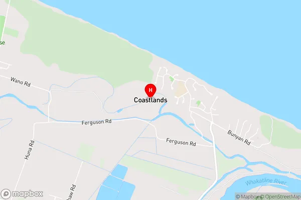
PiripaiCoastlands Area Map (Street)
Local Authority
Whakatane DistrictFull Address
Coastlands, Whakatane District, New ZealandAddress Type
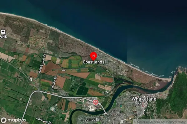
Suburb in Town WhakataneCoastlands Suburb Map (Satellite)
Country
Main Region in AU
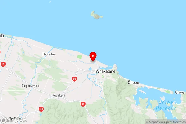
Bay of PlentyCoastlands Region Map
Coordinates
-37.935803,176.9668552 (latitude/longitude)Distances
The distance from Coastlands, Whakatane, Whakatane District to NZ Top 10 Cities