Peketa Area, Peketa Postcode(7300) & Map in Peketa
Peketa Area, Peketa Postcode(7300) & Map in Peketa, Kaikoura District, New Zealand
Peketa, Kaikoura District, New Zealand
Peketa Postcodes
Peketa Area (estimated)
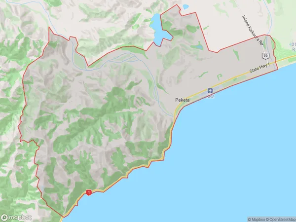
41.7 square kilometersPeketa Population (estimated)
93 people live in Peketa, Canterbury, NZPeketa Suburb Area Map (Polygon)
Peketa Introduction
Peketa is a small rural community in Kaikoura, Canterbury, New Zealand. It is located on State Highway 1, approximately 10 kilometers north of Kaikoura and 225 kilometers south of Christchurch. The community has a population of around 100 people and is known for its scenic views, farming, and fishing. Peketa is also home to the Peketa Cheese Factory, which produces a variety of cheese products using milk from local farms.Region
Major City
Suburb Name
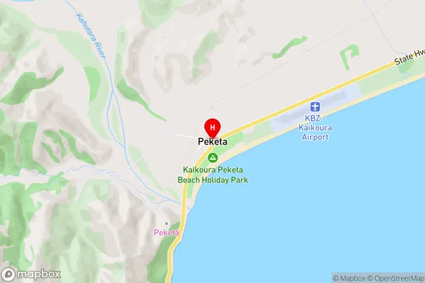
PeketaPeketa Area Map (Street)
Local Authority
Kaikoura DistrictFull Address
Peketa, Kaikoura District, New ZealandAddress Type
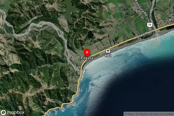
Locality in Town KaikouraPeketa Suburb Map (Satellite)
Country
Main Region in AU
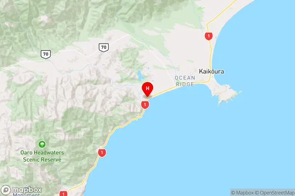
CanterburyPeketa Region Map
Coordinates
-42.4281423,173.591894 (latitude/longitude)Distances
The distance from Peketa, Kaikoura, Kaikoura District to NZ Top 10 Cities