Half Moon Bay Area, Half Moon Bay Postcode(2012) & Map in Half Moon Bay
Half Moon Bay Area, Half Moon Bay Postcode(2012) & Map in Half Moon Bay, Kaikoura District,
Half Moon Bay, Kaikoura District,
Half Moon Bay Postcodes
Half Moon Bay Area (estimated)
10.3 square kilometersHalf Moon Bay Population (estimated)
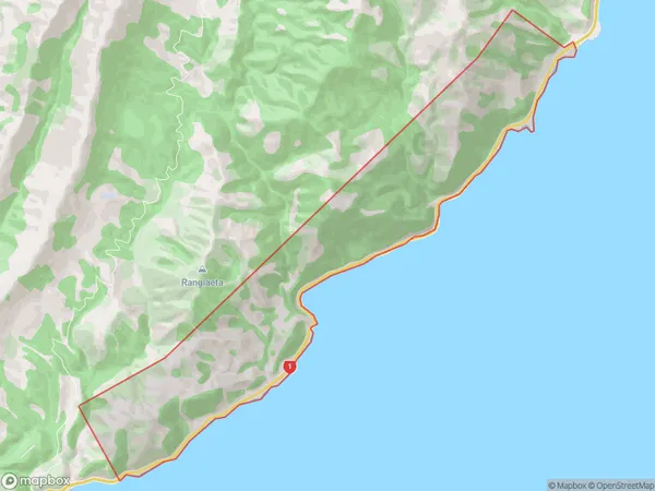
22 people live in Half Moon Bay, Kaikoura, NZHalf Moon Bay Suburb Area Map (Polygon)
Half Moon Bay Introduction
Half Moon Bay is a small coastal settlement in Kaikoura, Canterbury, New Zealand. It is known for its stunning coastal scenery, including rugged cliffs, sandy beaches, and a variety of marine wildlife. The area is a popular destination for whale watching, with several whale watching operators offering tours to observe the resident pods of southern right whales. Half Moon Bay also has a historic lighthouse, a small museum, and a variety of cafes and restaurants.Region
Major City
Suburb Name
Half Moon BayOther Name(s)
RakautaraHalf Moon Bay Area Map (Street)
Local Authority
Kaikoura DistrictFull Address
Half Moon Bay, Kaikoura District,Address Type
Locality in Town KaikouraHalf Moon Bay Suburb Map (Satellite)
Country
Main Region in AU
CanterburyHalf Moon Bay Region Map
Coordinates
0,0 (latitude/longitude)Distances
The distance from Half Moon Bay, Kaikoura, Kaikoura District to NZ Top 10 Cities