Whatawhata Area, Whatawhata Postcode(3289) & Map in Whatawhata
Whatawhata Area, Whatawhata Postcode(3289) & Map in Whatawhata, Waikato District, New Zealand
Whatawhata, Waikato District, New Zealand
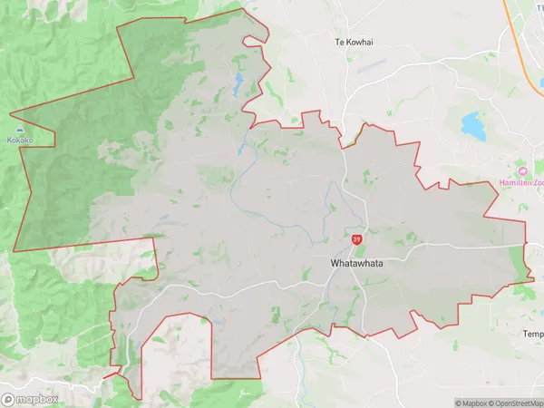
Whatawhata Area (estimated)
116.5 square kilometersWhatawhata Population (estimated)
3473 people live in Whatawhata, Waikato, NZWhatawhata Suburb Area Map (Polygon)
Whatawhata Introduction
Whatawhata is a small rural community in Hamilton, Waikato, New Zealand. It is located on State Highway 1, 12 km south of Hamilton City and 25 km north of Cambridge. The area has a population of around 1,000 people and is known for its scenic rural surroundings and historic buildings. The Whatawhata Stream runs through the community, and there are several parks and recreational facilities nearby. The community also has a primary school and a small supermarket.Region
Major City
Suburb Name
WhatawhataOther Name(s)
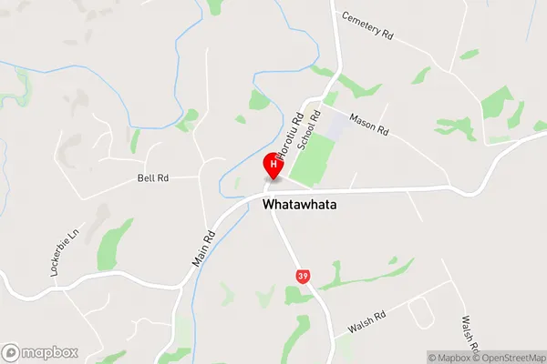
KarakarikiWhatawhata Area Map (Street)
Local Authority
Waikato DistrictFull Address
Whatawhata, Waikato District, New ZealandAddress Type
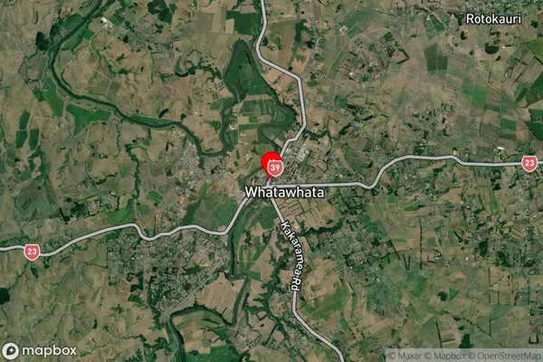
Locality in City HamiltonWhatawhata Suburb Map (Satellite)
Country
Main Region in AU
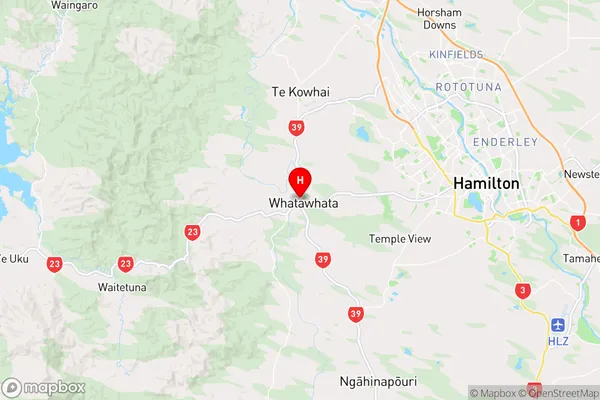
WaikatoWhatawhata Region Map
Coordinates
-37.7969254,175.1539443 (latitude/longitude)Distances
The distance from Whatawhata, Hamilton, Waikato District to NZ Top 10 Cities