Coal Stream Area, Coal Stream Postcode & Map in Coal Stream
Coal Stream Area, Coal Stream Postcode & Map in Coal Stream, Mackenzie District,
Coal Stream, Mackenzie District,
Coal Stream Area (estimated)
137.6 square kilometersCoal Stream Population (estimated)
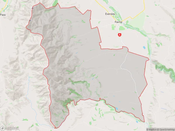
157 people live in Coal Stream, Fairlie, NZCoal Stream Suburb Area Map (Polygon)
Coal Stream Introduction
Coal Stream, Fairlie, Canterbury, New Zealand, was a coal-mining town that operated from 1876 to 1990. It was known for its harsh working conditions and dangerous coal mining practices, which led to a high number of accidents and fatalities. The town was also affected by the decline of the coal industry, and many of its buildings and infrastructure have been demolished or abandoned.Region
Major City
Suburb Name
Coal StreamOther Name(s)
Cricklewood, WinscombeCoal Stream Area Map (Street)
Local Authority
Mackenzie DistrictFull Address
Coal Stream, Mackenzie District,Address Type
Locality in Town FairlieCoal Stream Suburb Map (Satellite)
Country
Main Region in AU
CanterburyCoal Stream Region Map
Coordinates
0,0 (latitude/longitude)Distances
The distance from Coal Stream, Fairlie, Mackenzie District to NZ Top 10 Cities