Tauherenikau Area, Tauherenikau Postcode & Map in Tauherenikau
Tauherenikau Area, Tauherenikau Postcode & Map in Tauherenikau, South Wairarapa District, New Zealand
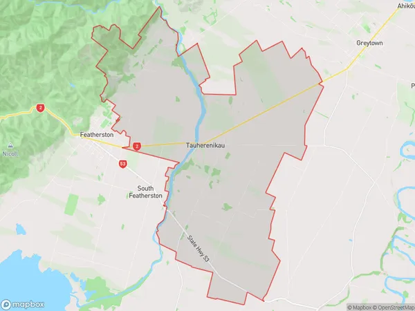
Tauherenikau, South Wairarapa District, New Zealand
Tauherenikau Area (estimated)
73.3 square kilometersTauherenikau Population (estimated)
421 people live in Tauherenikau, Greytown Community, NZTauherenikau Suburb Area Map (Polygon)
Tauherenikau Introduction
Tauherenikau is a small rural community in Wellington, New Zealand, located in the Wairarapa region. It is known for its scenic countryside, historic buildings, and strong community spirit. The area has a population of around 1,000 people and is home to a variety of businesses and services, including a primary school, a post office, and a convenience store. Tauherenikau is also home to a number of cultural and recreational facilities, including a sports field, a community hall, and a golf course. The area is surrounded by beautiful countryside, including the Wairarapa Mountains and the Rimutaka Range, and is popular with outdoor enthusiasts and nature lovers.Region
0Suburb Name
TauherenikauOther Name(s)
Fernside, KaiwaiwaiTauherenikau Area Map (Street)
Local Authority
South Wairarapa DistrictFull Address
Tauherenikau, South Wairarapa District, New ZealandAddress Type
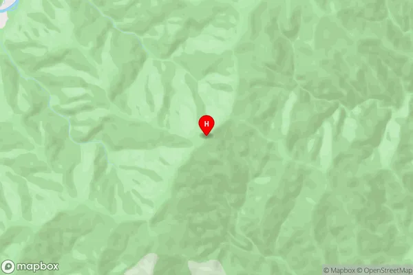
Locality in Major Locality TauherenikauTauherenikau Suburb Map (Satellite)
Country
Main Region in AU
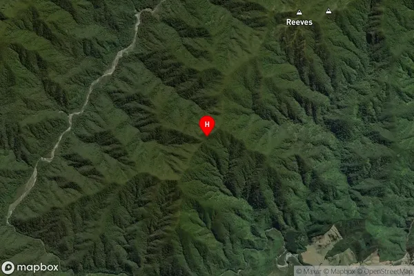
WellingtonTauherenikau Region Map

Coordinates
-41.040139,175.327944 (latitude/longitude)Distances
The distance from Tauherenikau, Tauherenikau, South Wairarapa District to NZ Top 10 Cities