Tikitere Area, Tikitere Postcode(3074) & Map in Tikitere
Tikitere Area, Tikitere Postcode(3074) & Map in Tikitere, Rotorua District, New Zealand
Tikitere, Rotorua District, New Zealand
Tikitere Postcodes
Tikitere Area (estimated)
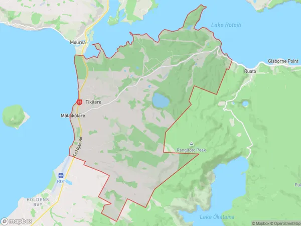
63.0 square kilometersTikitere Population (estimated)
1133 people live in Tikitere, Bay of Plenty, NZTikitere Suburb Area Map (Polygon)
Tikitere Introduction
Tikitere is a small rural community in the Bay of Plenty, New Zealand. It is known for its stunning natural surroundings, including a lake, a forest, and a mountain range. The community is home to a small population of around 100 people and is surrounded by beautiful farmland. Tikitere is a popular destination for outdoor enthusiasts, with many opportunities for hiking, biking, and fishing. The community also has a historic church and a community hall, which are used for a variety of events and activities.Region
Major City
Suburb Name
TikitereOther Name(s)
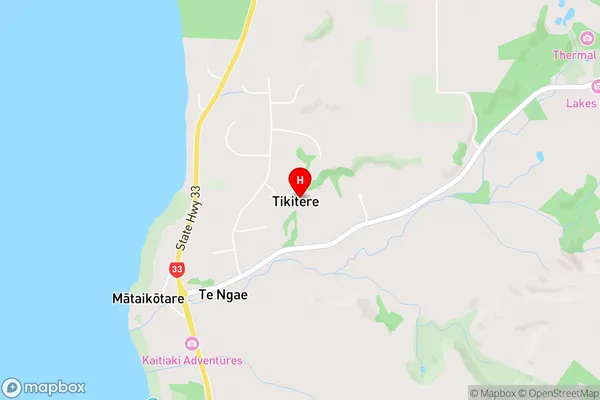
Hauparu, Mataikotare, Moanarua, Te Ngae, Tumoana Point Lakeside Settlement, Tumoana Pt Lakeside SettlementTikitere Area Map (Street)
Local Authority
Rotorua DistrictFull Address
Tikitere, Rotorua District, New ZealandAddress Type
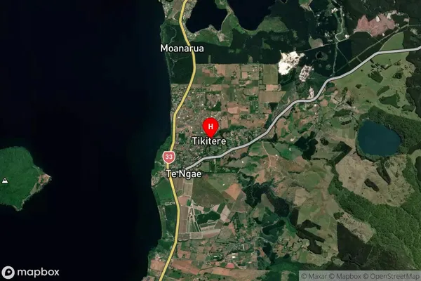
Suburb in City RotoruaTikitere Suburb Map (Satellite)
Country
Main Region in AU
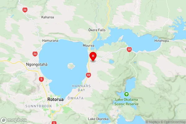
Bay of PlentyTikitere Region Map
Coordinates
-38.0729939,176.3361453 (latitude/longitude)Distances
The distance from Tikitere, Rotorua, Rotorua District to NZ Top 10 Cities