Te Anau Area, Te Anau Postcode(9600) & Map in Te Anau
Te Anau Area, Te Anau Postcode(9600) & Map in Te Anau, Southland District, New Zealand
Te Anau, Southland District, New Zealand
Te Anau Area (estimated)
563.3 square kilometersTe Anau Population (estimated)
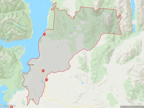
3762 people live in Te Anau, Fiordland Community, NZTe Anau Suburb Area Map (Polygon)
Te Anau Introduction
Te Anau is a small town located in Southland, New Zealand. It is known for its stunning natural surroundings, including the Fiordland National Park and the Milford Sound. The town is a popular tourist destination and is home to a variety of outdoor activities, such as hiking, kayaking, and fishing. It is also a base for exploring the surrounding area, including the Mount Cook National Park and the Kepler Track.Region
Major City
Suburb Name
Te AnauOther Name(s)
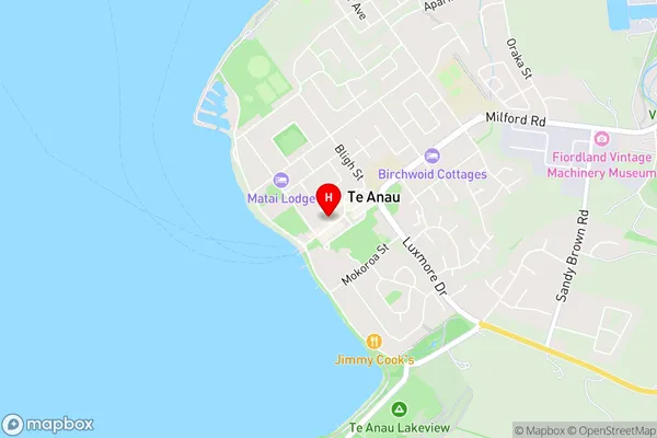
The DaleTe Anau Area Map (Street)
Local Authority
Southland DistrictFull Address
Te Anau, Southland District, New ZealandAddress Type
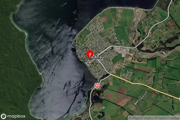
Suburb in Town Te AnauTe Anau Suburb Map (Satellite)
Country
Main Region in AU
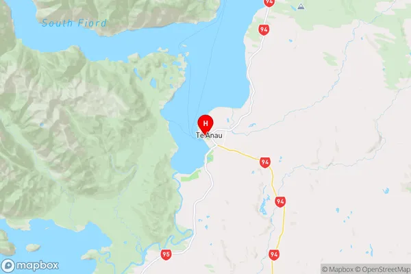
SouthlandTe Anau Region Map
Coordinates
-45.4157017,167.713948 (latitude/longitude)Distances
The distance from Te Anau, Te Anau, Southland District to NZ Top 10 Cities