Southbridge Area, Southbridge Postcode(7602) & Map in Southbridge
Southbridge Area, Southbridge Postcode(7602) & Map in Southbridge, Selwyn District, New Zealand
Southbridge, Selwyn District, New Zealand
Southbridge Area (estimated)
334.1 square kilometersSouthbridge Population (estimated)
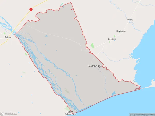
2120 people live in Southbridge, Canterbury, NZSouthbridge Suburb Area Map (Polygon)
Southbridge Introduction
Southbridge is a small town in Canterbury, New Zealand, located on the banks of the Hurunui River. It is known for its historic buildings, including the Southbridge Hotel, which was built in 1877. The town also has a variety of recreational facilities, including a golf course, a swimming pool, and a sports stadium. Southbridge is a popular destination for tourists and locals alike, with its scenic surroundings and friendly community.Region
0Suburb Name
SouthbridgeOther Name(s)
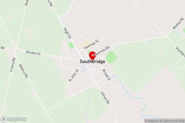
Little Rakaia, Milltown, Rakaia Huts, Rakaia Huts North Bank, Sedgemere, TaumutuSouthbridge Area Map (Street)
Local Authority
Selwyn DistrictFull Address
Southbridge, Selwyn District, New ZealandAddress Type
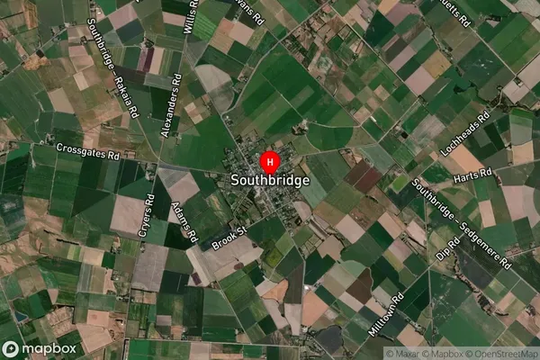
Suburb in Town SouthbridgeSouthbridge Suburb Map (Satellite)
Country
Main Region in AU
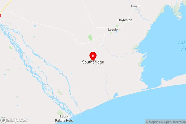
CanterburySouthbridge Region Map
Coordinates
-43.8119105,172.2544396 (latitude/longitude)Distances
The distance from Southbridge, Southbridge, Selwyn District to NZ Top 10 Cities