Roaring Meg Area, Roaring Meg Postcode & Map in Roaring Meg, Central Otago District
Roaring Meg Area, Roaring Meg Postcode & Map in Roaring Meg, Central Otago District, Queenstown-Lakes District,
Roaring Meg, Central Otago District, Queenstown-Lakes District,
Roaring Meg Area (estimated)
197.4 square kilometersRoaring Meg Population (estimated)
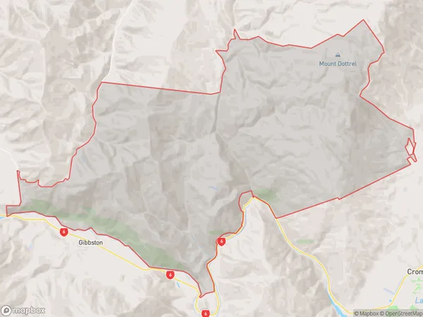
7 people live in Roaring Meg, Central Otago / Lakes District, NZRoaring Meg Suburb Area Map (Polygon)
Roaring Meg Introduction
Roaring Meg is a waterfall located in the Otago region of New Zealand. It is a popular tourist attraction due to its stunning natural beauty and powerful waterfall. The waterfall is formed by the Otaio River and drops a total of 80 meters.Region
Major City
Suburb Name
Roaring MegOther Name(s)
Otago GoldfieldsRoaring Meg Area Map (Street)
Local Authority
Central Otago District, Queenstown-Lakes DistrictFull Address
Roaring Meg, Central Otago District, Queenstown-Lakes District,Address Type
Locality in Town CromwellRoaring Meg Suburb Map (Satellite)
Country
Main Region in AU
OtagoRoaring Meg Region Map
Coordinates
0,0 (latitude/longitude)Distances
The distance from Roaring Meg, Cromwell, Central Otago District, Queenstown-Lakes District to NZ Top 10 Cities