Okuti Valley Area, Okuti Valley Postcode(8011) & Map in Okuti Valley
Okuti Valley Area, Okuti Valley Postcode(8011) & Map in Okuti Valley, Christchurch City, New Zealand
Okuti Valley, Christchurch City, New Zealand
Okuti Valley Postcodes
Okuti Valley Area (estimated)
24.7 square kilometersOkuti Valley Population (estimated)
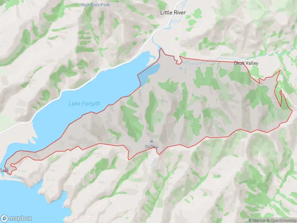
61 people live in Okuti Valley, Banks Peninsula Community, NZOkuti Valley Suburb Area Map (Polygon)
Okuti Valley Introduction
Little River, a short tributary of the Okuti River in Canterbury, New Zealand, was known for its gold mining operations in the 19th century. The area now features scenic landscapes, hiking trails, and a historic gold mining museum.Region
Major City
Suburb Name
Okuti ValleyOther Name(s)
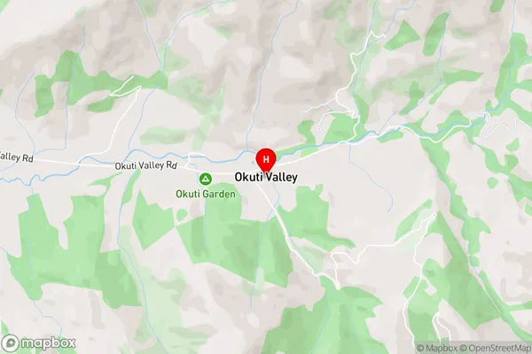
Southern BaysOkuti Valley Area Map (Street)
Local Authority
Christchurch CityFull Address
Okuti Valley, Christchurch City, New ZealandAddress Type
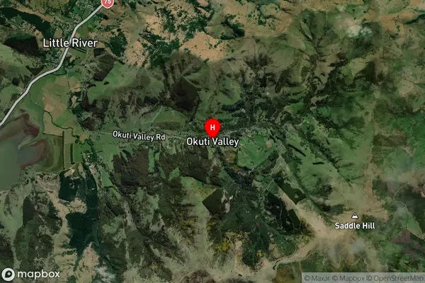
Locality in Major Locality Little RiverOkuti Valley Suburb Map (Satellite)
Country
Main Region in AU
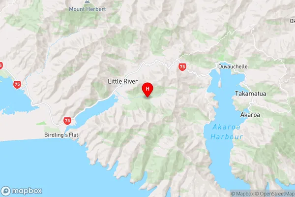
CanterburyOkuti Valley Region Map
Coordinates
-43.7876397,172.8254342 (latitude/longitude)Distances
The distance from Okuti Valley, Little River, Christchurch City to NZ Top 10 Cities