Nevis Area, Nevis Postcode & Map in Nevis
Nevis Area, Nevis Postcode & Map in Nevis, Central Otago District,
Nevis, Central Otago District,
Nevis Area (estimated)
421.4 square kilometersNevis Population (estimated)
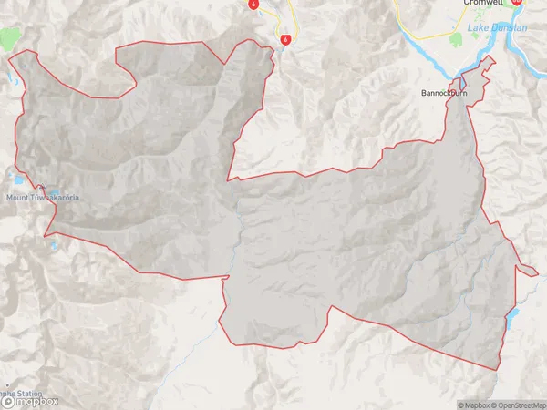
106 people live in Nevis, Central Otago / Lakes District, NZNevis Suburb Area Map (Polygon)
Nevis Introduction
Nevis, Cromwell, Otago, and NZ are all towns in New Zealand. Nevis is a small town located in the Central Otago region, known for its scenic landscapes and skiing opportunities. Cromwell is a larger town situated in the Otago region, famous for its fruit growing and as the birthplace of Sir John Dunedin. Otago is a province in the South Island of New Zealand, known for its stunning landscapes, including mountains, glaciers, and lakes. New Zealand is a country in the southwestern Pacific Ocean known for its natural beauty, friendly people, and outdoor activities.Region
Major City
Suburb Name
NevisOther Name(s)
Nevis Crossing, Otago GoldfieldsNevis Area Map (Street)
Local Authority
Central Otago DistrictFull Address
Nevis, Central Otago District,Address Type
Locality in Town CromwellNevis Suburb Map (Satellite)
Country
Main Region in AU
OtagoNevis Region Map
Coordinates
0,0 (latitude/longitude)Distances
The distance from Nevis, Cromwell, Central Otago District to NZ Top 10 Cities