Rotoroa Area, Rotoroa Postcode & Map in Rotoroa
Rotoroa Area, Rotoroa Postcode & Map in Rotoroa, Tasman District, New Zealand
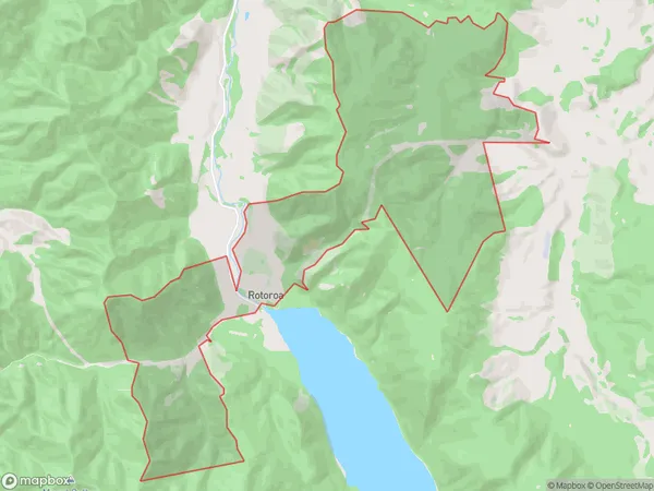
Rotoroa, Tasman District, New Zealand
Rotoroa Area (estimated)
26.9 square kilometersRotoroa Population (estimated)
36 people live in Rotoroa, Tasman, NZRotoroa Suburb Area Map (Polygon)
Rotoroa Introduction
Rotoroa is a small, circular island in the St. Arnaud Range of the Tasman Sea. It is part of the St. Arnaud Islands group and is known for its scenic beauty, including lush forests, crystal-clear waters, and stunning mountain views. The island is a popular destination for hiking, kayaking, and wildlife viewing, with a variety of species of birds and marine animals calling it home. It is also home to a small community of people who live off the land and rely on fishing and farming for their livelihood.00Suburb Name
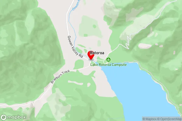
RotoroaRotoroa Area Map (Street)
Local Authority
Tasman DistrictFull Address
Rotoroa, Tasman District, New ZealandAddress Type
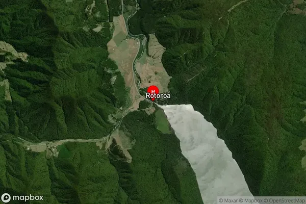
Locality in Major Locality St. ArnaudRotoroa Suburb Map (Satellite)
Country
Main Region in AU
TasmanRotoroa Region Map

Coordinates
-41.795277,172.5930373 (latitude/longitude)Distances
The distance from Rotoroa, St. Arnaud, Tasman District to NZ Top 10 Cities