Taylor Pass Area, Taylor Pass Postcode(7201) & Map in Taylor Pass
Taylor Pass Area, Taylor Pass Postcode(7201) & Map in Taylor Pass, Marlborough District, New Zealand
Taylor Pass, Marlborough District, New Zealand
Taylor Pass Postcodes
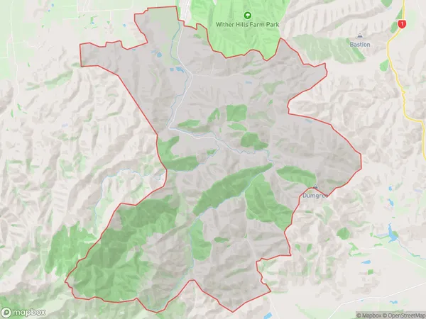
Taylor Pass Area (estimated)
97.6 square kilometersTaylor Pass Population (estimated)
102 people live in Taylor Pass, Marlborough, NZTaylor Pass Suburb Area Map (Polygon)

Taylor Pass Introduction
Taylor Pass is a mountain pass in the Blenheim region of New Zealand's South Island. It connects the Wairau Valley to the Marlborough Sounds and is part of the Southern Alps. The pass is named after John Taylor, a surveyor who mapped the area in the 1850s.Region
Major City
Suburb Name
Taylor PassOther Name(s)
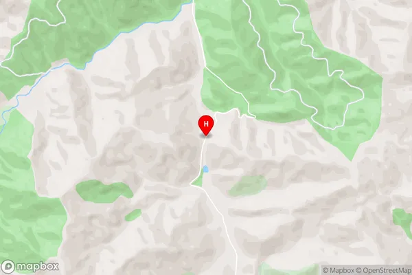
Omaka, Wither Hills ParkTaylor Pass Area Map (Street)

Local Authority
Marlborough DistrictFull Address
Taylor Pass, Marlborough District, New ZealandAddress Type
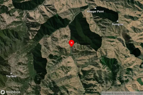
Suburb in Town BlenheimTaylor Pass Suburb Map (Satellite)

Country
Main Region in AU
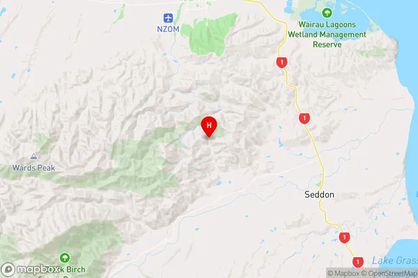
MarlboroughTaylor Pass Region Map

Coordinates
-41.6301948,173.9645395 (latitude/longitude)Distances
The distance from Taylor Pass, Blenheim, Marlborough District to NZ Top 10 Cities