Waiatarua Area, Waiatarua Postcode(0604) & Map in Waiatarua
Waiatarua Area, Waiatarua Postcode(0604) & Map in Waiatarua, Auckland, New Zealand
Waiatarua, Auckland, New Zealand
Waiatarua Area (estimated)
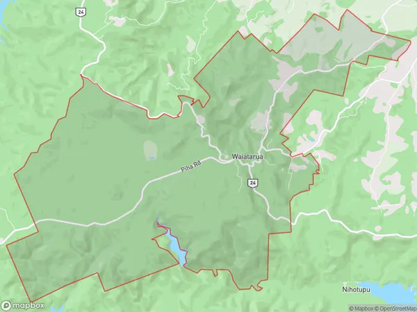
26.5 square kilometersWaiatarua Population (estimated)
1188 people live in Waiatarua, Waitākere Ranges, NZWaiatarua Suburb Area Map (Polygon)
Waiatarua Introduction
Waiatarua is a suburban area in Auckland, New Zealand, with a population of around 1,000 people. It is known for its scenic views, including the Waiatarua Forest Park, and its close proximity to the city center. The area has a mix of residential and commercial properties, with several schools and recreational facilities. Waiatarua is also home to a popular golf course and a small community center.Region
Major City
Suburb Name
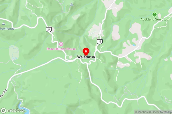
WaiataruaWaiatarua Area Map (Street)
Local Authority
AucklandFull Address
Waiatarua, Auckland, New ZealandAddress Type
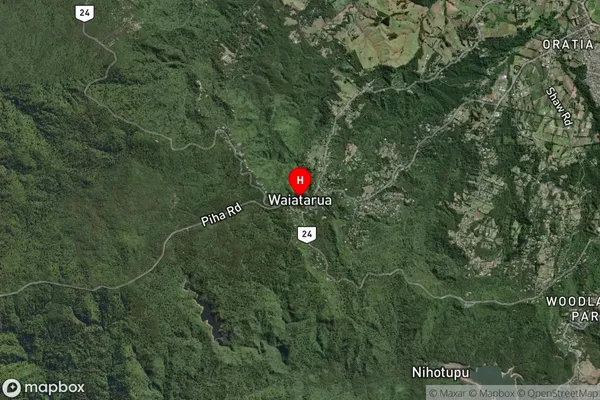
Suburb in City AucklandWaiatarua Suburb Map (Satellite)
Country
Main Region in AU
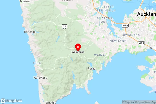
AucklandWaiatarua Region Map
Coordinates
-36.9322969,174.5781611 (latitude/longitude)Distances
The distance from Waiatarua, Auckland, Auckland to NZ Top 10 Cities