Waihopai Valley Area, Waihopai Valley Postcode(7204) & Map in Waihopai Valley
Waihopai Valley Area, Waihopai Valley Postcode(7204) & Map in Waihopai Valley, Marlborough District, New Zealand
Waihopai Valley, Marlborough District, New Zealand
Waihopai Valley Postcodes
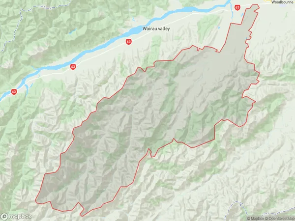
Waihopai Valley Area (estimated)
1072.1 square kilometersWaihopai Valley Population (estimated)
435 people live in Waihopai Valley, Marlborough, NZWaihopai Valley Suburb Area Map (Polygon)

Waihopai Valley Introduction
Waihopai Valley is a picturesque valley located in Marlborough, New Zealand. It is known for its stunning vineyards, olive orchards, and peaceful atmosphere. The valley is home to a variety of wildlife, including kea, tui, and kiwi birds. Visitors can enjoy scenic walks, wine tastings, and olive oil tastings at local farms and restaurants. The area is also popular for its hot springs, which offer a relaxing and therapeutic experience.Region
Suburb Name
Waihopai Valley (Maori Name: Waihōpai Valley)Waihopai Valley Area Map (Street)
Not available for nowLocal Authority
Marlborough DistrictFull Address
Waihopai Valley, Marlborough District, New ZealandAddress Type
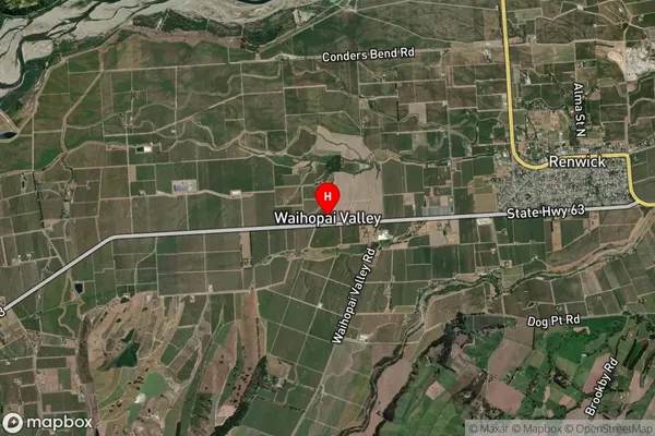
Locality in Major Locality Waihopai ValleyWaihopai Valley Suburb Map (Satellite)

Country
Main Region in AU
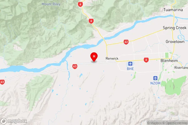
MarlboroughWaihopai Valley Region Map

Coordinates
-41.5149705,173.7897351 (latitude/longitude)Distances
The distance from Waihopai Valley, Waihopai Valley, Marlborough District to NZ Top 10 Cities