Waverley Area, Waverley Postcode(4510) & Map in Waverley
Waverley Area, Waverley Postcode(4510) & Map in Waverley, South Taranaki District, New Zealand
Waverley, South Taranaki District, New Zealand
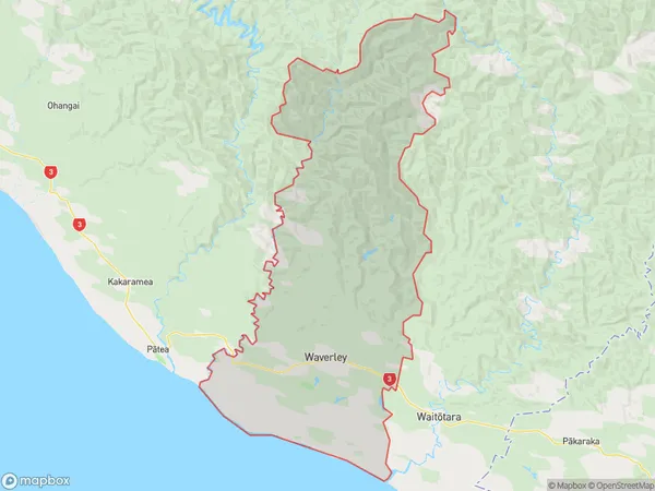
Waverley Area (estimated)
457.4 square kilometersWaverley Population (estimated)
1365 people live in Waverley, Taranaki, NZWaverley Suburb Area Map (Polygon)

Waverley Introduction
Waverley is a small town in Taranaki, New Zealand. It is located on State Highway 1, 30 km south of New Plymouth. Waverley was once a significant coal-mining town but has since transitioned to a tourism and agricultural hub. The town is surrounded by stunning natural scenery, including the Waverley Mountains and the Waverley River. The Waverley Cemetery is a popular tourist attraction, with many historic gravesites. Waverley also hosts the annual Waverley Agricultural Show, which is a major event in the region.Region
Major City
Suburb Name
WaverleyOther Name(s)
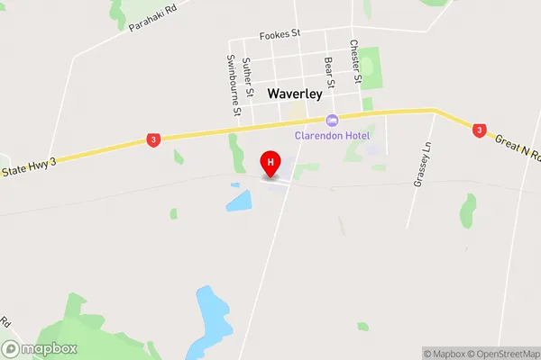
Karahaki, Kohi, Moumahaki, WaiinuWaverley Area Map (Street)

Local Authority
South Taranaki DistrictFull Address
Waverley, South Taranaki District, New ZealandAddress Type
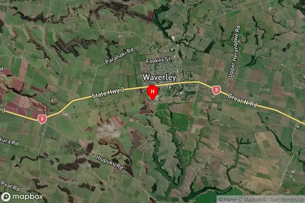
Suburb in Town WaverleyWaverley Suburb Map (Satellite)

Country
Main Region in AU
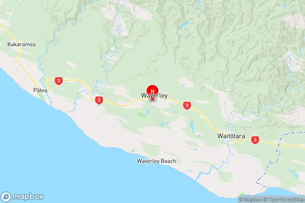
TaranakiWaverley Region Map

Coordinates
-39.7686319,174.6268229 (latitude/longitude)Distances
The distance from Waverley, Waverley, South Taranaki District to NZ Top 10 Cities