Clover Park Area, Clover Park Postcode(2023) & Map in Clover Park
Clover Park Area, Clover Park Postcode(2023) & Map in Clover Park, Auckland, New Zealand
Clover Park, Auckland, New Zealand
Clover Park Area (estimated)
3.0 square kilometersClover Park Population (estimated)
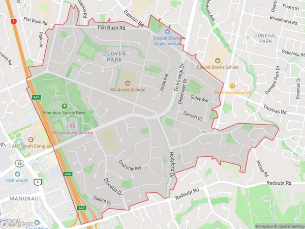
11106 people live in Clover Park, Ōtara-Papatoetoe, NZClover Park Suburb Area Map (Polygon)
Clover Park Introduction
Clover Park is a residential suburb in Auckland, New Zealand. It is located in the Eastern Suburbs and is known for its peaceful atmosphere, tree-lined streets, and well-maintained homes. The suburb has a variety of amenities, including a shopping center, a library, and several parks. Clover Park is also home to a large number of international students, due to its proximity to several universities and colleges.Region
Major City
Suburb Name
Clover ParkOther Name(s)
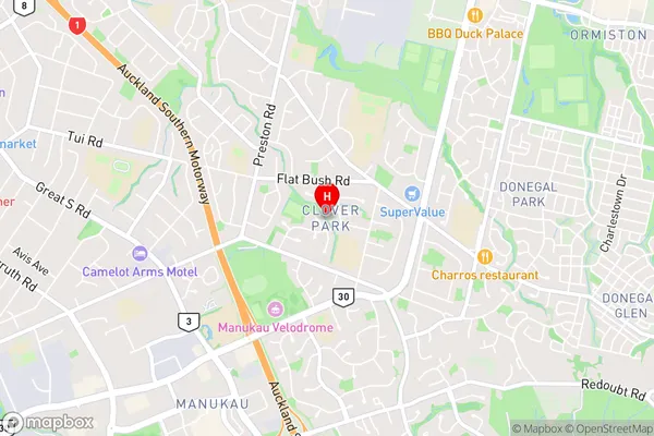
Botany, Chapel Downs, Manukau City, Manukau Heights, Ormiston, Otara SouthClover Park Area Map (Street)
Local Authority
AucklandFull Address
Clover Park, Auckland, New ZealandAddress Type
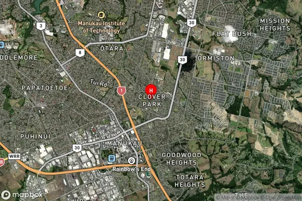
Suburb in City AucklandClover Park Suburb Map (Satellite)
Country
Main Region in AU
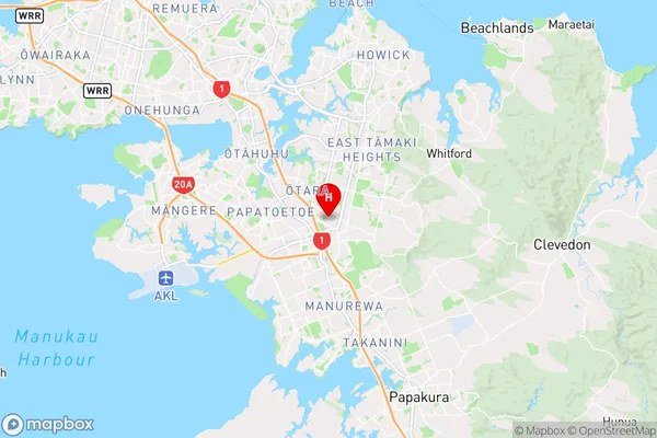
AucklandClover Park Region Map
Coordinates
-36.9782427,174.8903639 (latitude/longitude)Distances
The distance from Clover Park, Auckland, Auckland to NZ Top 10 Cities