Alton Area, Alton Postcode(4598) & Map in Alton
Alton Area, Alton Postcode(4598) & Map in Alton, South Taranaki District, New Zealand
Alton, South Taranaki District, New Zealand
Alton Postcodes
Alton Area (estimated)
8.9 square kilometersAlton Population (estimated)
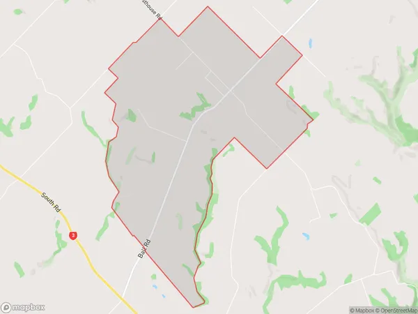
76 people live in Alton, Taranaki, NZAlton Suburb Area Map (Polygon)
Alton Introduction
Alton is a small town in the Patea district of Taranaki, New Zealand. It is located on State Highway 1, 35 km north of Patea and 120 km south of New Plymouth. The town has a population of around 500 people and is known for its historic stone buildings and scenic surroundings. The Alton railway station was closed in 1988, but the track remains in use for freight transport. The town also has a golf course and a community hall.Region
Major City
Suburb Name
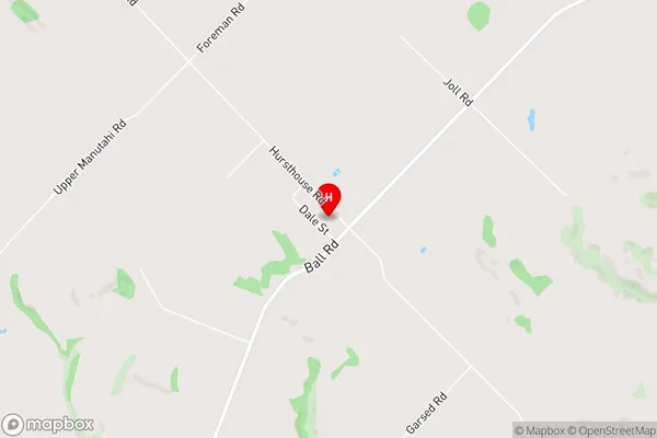
AltonAlton Area Map (Street)
Local Authority
South Taranaki DistrictFull Address
Alton, South Taranaki District, New ZealandAddress Type
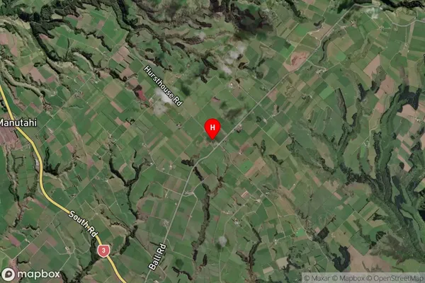
Locality in Town PateaAlton Suburb Map (Satellite)
Country
Main Region in AU
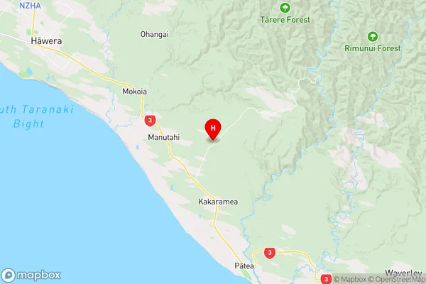
TaranakiAlton Region Map
Coordinates
-39.6647191,174.4449931 (latitude/longitude)Distances
The distance from Alton, Patea, South Taranaki District to NZ Top 10 Cities