Waitahora Area, Waitahora Postcode & Map in Waitahora
Waitahora Area, Waitahora Postcode & Map in Waitahora, Tararua District, New Zealand
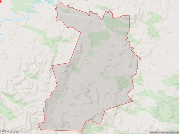
Waitahora, Tararua District, New Zealand
Waitahora Area (estimated)
175.5 square kilometersWaitahora Population (estimated)
200 people live in Waitahora, Manawatu-Wanganui, NZWaitahora Suburb Area Map (Polygon)
Waitahora Introduction
Waitahora is a small rural community in the Dannevirke district of Manawatu-Wanganui, New Zealand. It is located on State Highway 2, approximately 12 km south of Dannevirke and 45 km north of Palmerston North. The community has a population of around 100 people and is known for its scenic rural surroundings and peaceful atmosphere. Waitahora is surrounded by farmland and has a variety of recreational facilities, including a golf course and a community hall. The area is also home to several historic buildings, including the Waitahora Hotel, which was built in the 1880s.Region
Major City
Suburb Name
WaitahoraOther Name(s)
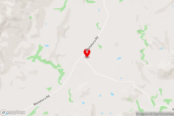
Mangatoro, Motea, NgapaeruruWaitahora Area Map (Street)
Local Authority
Tararua DistrictFull Address
Waitahora, Tararua District, New ZealandAddress Type
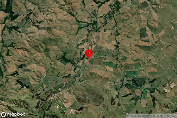
Locality in Town DannevirkeWaitahora Suburb Map (Satellite)
Country
Main Region in AU
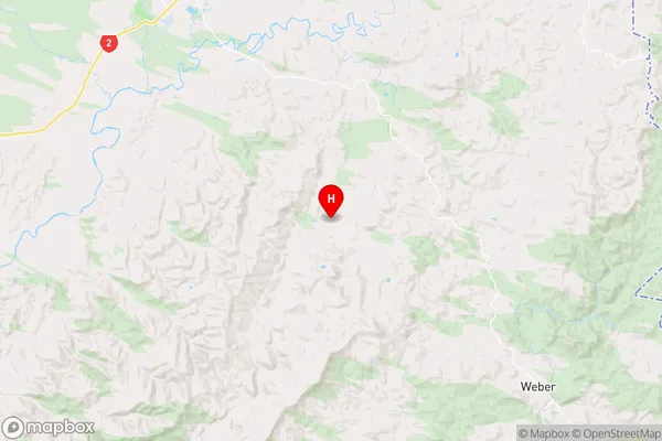
Manawatu-WanganuiWaitahora Region Map
Coordinates
-40.3233175,176.1821651 (latitude/longitude)Distances
The distance from Waitahora, Dannevirke, Tararua District to NZ Top 10 Cities