Waiho Area, Waiho Postcode & Map in Waiho
Waiho Area, Waiho Postcode & Map in Waiho, Westland District, New Zealand
Waiho, Westland District, New Zealand
Waiho Area (estimated)
262.0 square kilometersWaiho Population (estimated)
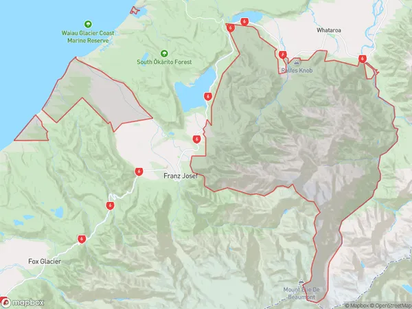
16 people live in Waiho, West Coast, NZWaiho Suburb Area Map (Polygon)
Waiho Introduction
Waiau, Franz Josef/Waiho is a small community on the West Coast of New Zealand's South Island. It is located in the Grey District and is close to the Franz Josef Glacier. The area is known for its scenic beauty and outdoor activities, including hiking, skiing, and fishing. The population of Waiau is around 100 people.Region
0Suburb Name
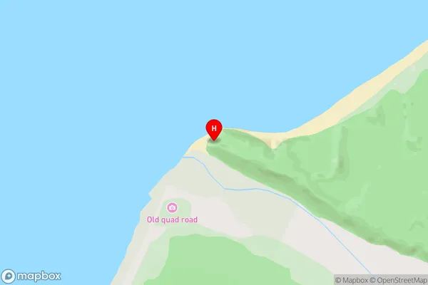
WaihoWaiho Area Map (Street)
Local Authority
Westland DistrictFull Address
Waiho, Westland District, New ZealandAddress Type
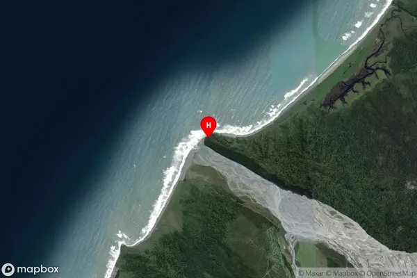
Locality in Major Locality Franz Josef/WaiauWaiho Suburb Map (Satellite)
Country
Main Region in AU
West CoastWaiho Region Map

Coordinates
-43.284926,170.055518 (latitude/longitude)Distances
The distance from Waiho, Franz Josef/Waiau, Westland District to NZ Top 10 Cities