The Neck Area, The Neck Postcode(9300) & Map in The Neck
The Neck Area, The Neck Postcode(9300) & Map in The Neck, Queenstown-Lakes District, New Zealand
The Neck, Queenstown-Lakes District, New Zealand
The Neck Postcodes
The Neck Area (estimated)
156.9 square kilometersThe Neck Population (estimated)
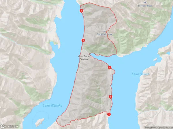
5 people live in The Neck, Otago, NZThe Neck Suburb Area Map (Polygon)
The Neck Introduction
The Neck is a popular tourist destination in Wanaka, Otago, New Zealand. It is a narrow strip of land that connects the town to the lake and offers stunning views of the surrounding mountains and lake. The Neck is also home to a variety of restaurants, cafes, and shops, as well as several walking and biking trails.Region
Major City
Suburb Name
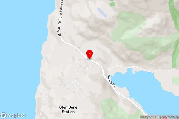
The NeckThe Neck Area Map (Street)
Local Authority
Queenstown-Lakes DistrictFull Address
The Neck, Queenstown-Lakes District, New ZealandAddress Type
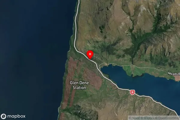
Locality in Town WanakaThe Neck Suburb Map (Satellite)
Country
Main Region in AU
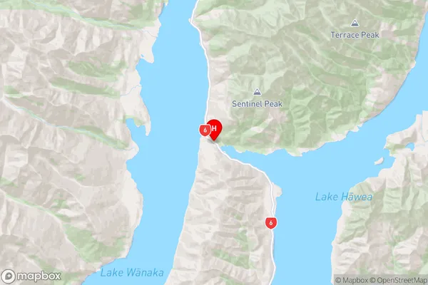
OtagoThe Neck Region Map
Coordinates
-44.4365556,169.1917218 (latitude/longitude)Distances
The distance from The Neck, Wanaka, Queenstown-Lakes District to NZ Top 10 Cities