Tarras Area, Tarras Postcode(9347) & Map in Tarras
Tarras Area, Tarras Postcode(9347) & Map in Tarras, Central Otago District, New Zealand
Tarras, Central Otago District, New Zealand
Tarras Postcodes
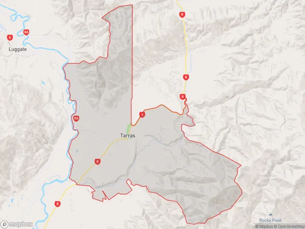
Tarras Area (estimated)
259.6 square kilometersTarras Population (estimated)
270 people live in Tarras, Otago, NZTarras Suburb Area Map (Polygon)
Tarras Introduction
Tarras is a small rural town in Otago, New Zealand, located 20 kilometers southeast of Dunedin. It was founded in 1865 by Scottish settlers and named after the Scottish town of Tarras. The town has a population of around 500 people and is known for its scenic surroundings, including the Tarras Valley and the surrounding mountains. The town has a primary school, a post office, a hotel, and a few small businesses. Tarras is also home to the Tarras Rugby Club, which is a part of the Otago Rugby Union.Region
Major City
Suburb Name
TarrasOther Name(s)
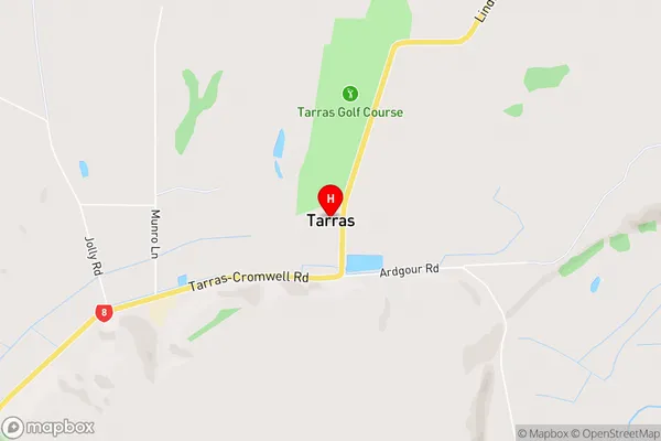
ArdgourTarras Area Map (Street)
Local Authority
Central Otago DistrictFull Address
Tarras, Central Otago District, New ZealandAddress Type
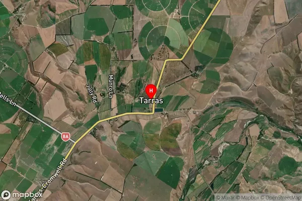
Locality in Town CromwellTarras Suburb Map (Satellite)
Country
Main Region in AU
OtagoTarras Region Map
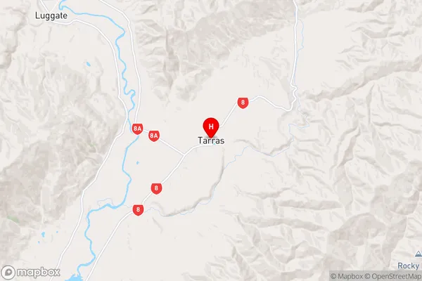
Coordinates
-44.8325138,169.4259579 (latitude/longitude)Distances
The distance from Tarras, Cromwell, Central Otago District to NZ Top 10 Cities