Pukehamoamoa Area, Pukehamoamoa Postcode(4120) & Map in Pukehamoamoa
Pukehamoamoa Area, Pukehamoamoa Postcode(4120) & Map in Pukehamoamoa, Hastings District, New Zealand
Pukehamoamoa, Hastings District, New Zealand
Pukehamoamoa Postcodes
Pukehamoamoa Area (estimated)
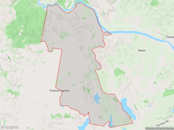
45.9 square kilometersPukehamoamoa Population (estimated)
190 people live in Pukehamoamoa, Hawke's Bay, NZPukehamoamoa Suburb Area Map (Polygon)
Pukehamoamoa Introduction
Pukehamoamoa is a small rural community in the Hastings District of Hawke's Bay, New Zealand. It is located on State Highway 2, approximately 12 km east of Hastings city center. The area is known for its scenic countryside, with rolling hills, farms, and vineyards. Pukehamoamoa has a population of around 1,000 people and is home to a primary school, a post office, and a small supermarket. The community is surrounded by beautiful natural attractions, including the Pakuranga River, the Tuki Tuki River, and the Ahuriri Estuary.Region
Major City
Suburb Name
PukehamoamoaOther Name(s)
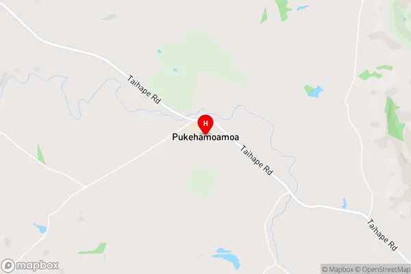
PukemoanaPukehamoamoa Area Map (Street)
Local Authority
Hastings DistrictFull Address
Pukehamoamoa, Hastings District, New ZealandAddress Type
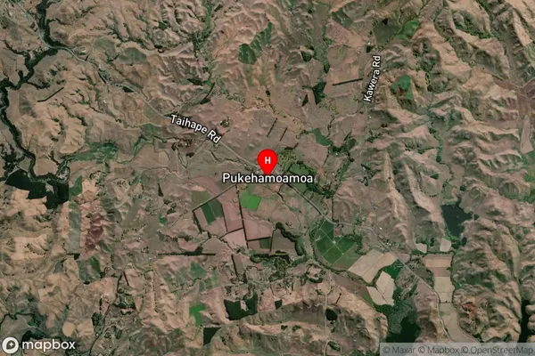
Locality in City HastingsPukehamoamoa Suburb Map (Satellite)
Country
Main Region in AU
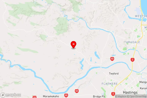
Hawke's BayPukehamoamoa Region Map
Coordinates
-39.5481794,176.6842455 (latitude/longitude)Distances
The distance from Pukehamoamoa, Hastings, Hastings District to NZ Top 10 Cities