Mavora Area, Mavora Postcode & Map in Mavora, Queenstown-Lakes District
Mavora Area, Mavora Postcode & Map in Mavora, Queenstown-Lakes District, Southland District,
Mavora, Queenstown-Lakes District, Southland District,
Mavora Area (estimated)
1082.7 square kilometersMavora Population (estimated)
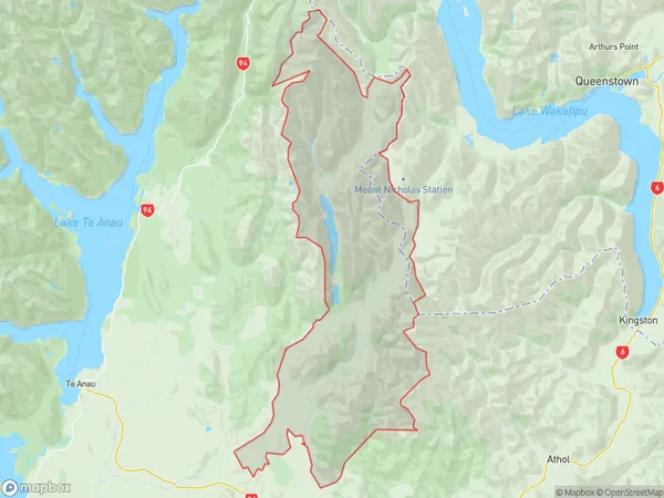
33 people live in Mavora, Te Anau, NZMavora Suburb Area Map (Polygon)
Mavora Introduction
Mavora is a small town on the southern shores of Lake Te Anau in Southland, New Zealand. It is known for its stunning blue lake, which is a popular spot for fishing, boating, and swimming. The town also has a variety of hiking trails and scenic viewpoints, making it a popular destination for outdoor enthusiasts. Mavora is surrounded by stunning natural scenery, including the Fiordland National Park and the Mount Aspiring National Park.Region
Major City
Suburb Name
MavoraMavora Area Map (Street)
Local Authority
Queenstown-Lakes District, Southland DistrictFull Address
Mavora, Queenstown-Lakes District, Southland District,Address Type
Locality in Town Te AnauMavora Suburb Map (Satellite)
Country
Main Region in AU
SouthlandMavora Region Map
Coordinates
0,0 (latitude/longitude)Distances
The distance from Mavora, Te Anau, Queenstown-Lakes District, Southland District to NZ Top 10 Cities