Lower Nevis Area, Lower Nevis Postcode & Map in Lower Nevis
Lower Nevis Area, Lower Nevis Postcode & Map in Lower Nevis, Central Otago District, New Zealand
Lower Nevis, Central Otago District, New Zealand
Lower Nevis Area (estimated)
677.7 square kilometersLower Nevis Population (estimated)
11 people live in Lower Nevis, Otago, NZLower Nevis Suburb Area Map (Polygon)
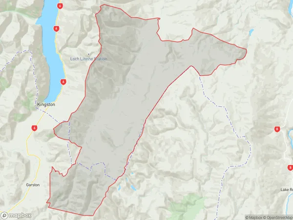
Lower Nevis Introduction
Lower Nevis is a small residential area in Kingston, Otago, New Zealand. It is located on the lower slopes of the Nevis Range, overlooking the city of Dunedin. The area is known for its scenic views and peaceful atmosphere, and it is a popular destination for outdoor enthusiasts and nature lovers. Lower Nevis is home to a variety of residential properties, including single-family homes, apartments, and townhouses. The area has a strong community spirit, with many residents participating in local events and activities.Region
Major City
Suburb Name
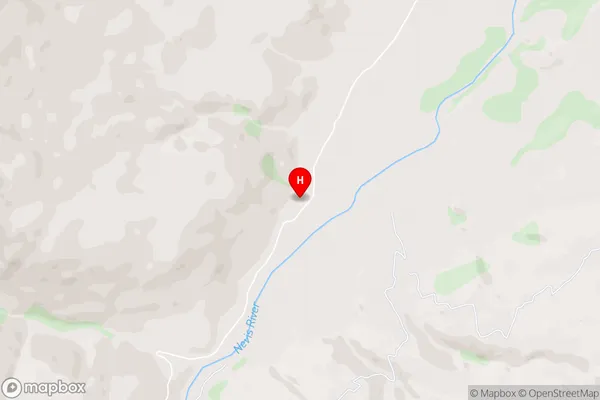
Lower NevisLower Nevis Area Map (Street)
Local Authority
Central Otago DistrictFull Address
Lower Nevis, Central Otago District, New ZealandAddress Type
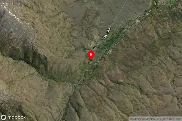
Locality in Major Locality KingstonLower Nevis Suburb Map (Satellite)
Country
Main Region in AU
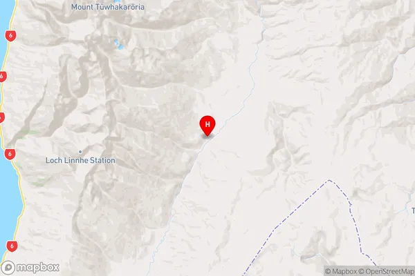
OtagoLower Nevis Region Map
Coordinates
-45.2394199,168.9466381 (latitude/longitude)Distances
The distance from Lower Nevis, Kingston, Central Otago District to NZ Top 10 Cities