Clendon Park Area, Clendon Park Postcode(2242) & Map in Clendon Park
Clendon Park Area, Clendon Park Postcode(2242) & Map in Clendon Park, Auckland, New Zealand
Clendon Park, Auckland, New Zealand
Clendon Park Area (estimated)
2.7 square kilometersClendon Park Population (estimated)
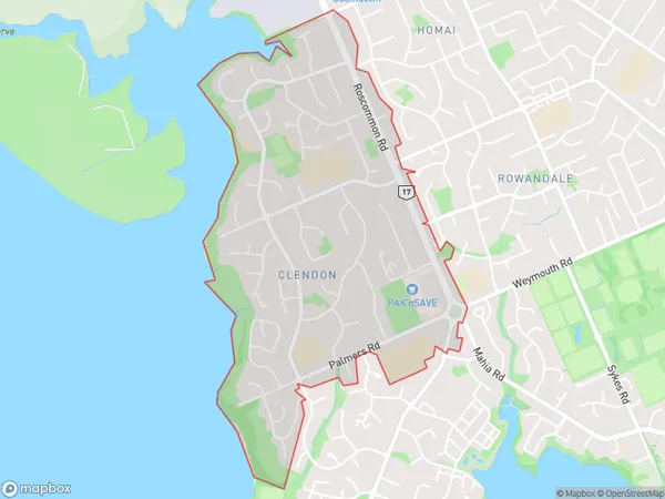
11331 people live in Clendon Park, Manurewa, NZClendon Park Suburb Area Map (Polygon)
Clendon Park Introduction
Clendon Park is a residential suburb in Auckland, New Zealand. It is located in the Waitakere City Council area and is known for its large, leafy homes and peaceful atmosphere. The suburb has a variety of amenities, including a shopping center, a library, and several parks. It is also home to the Clendon Park Racecourse, which hosts regular horse racing events.Region
Major City
Suburb Name
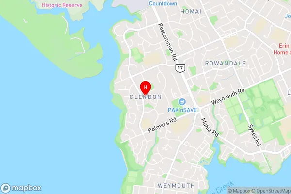
Clendon ParkClendon Park Area Map (Street)
Local Authority
AucklandFull Address
Clendon Park, Auckland, New ZealandAddress Type
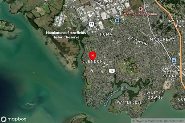
Suburb in City AucklandClendon Park Suburb Map (Satellite)
Country
Main Region in AU
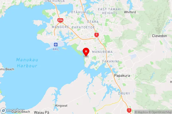
AucklandClendon Park Region Map
Coordinates
-37.0318096,174.8608675 (latitude/longitude)Distances
The distance from Clendon Park, Auckland, Auckland to NZ Top 10 Cities