Wye Creek Area, Wye Creek Postcode(9300) & Map in Wye Creek
Wye Creek Area, Wye Creek Postcode(9300) & Map in Wye Creek, Queenstown-Lakes District, New Zealand
Wye Creek, Queenstown-Lakes District, New Zealand
Wye Creek Postcodes
Wye Creek Area (estimated)
41.4 square kilometersWye Creek Population (estimated)
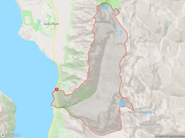
30 people live in Wye Creek, Otago, NZWye Creek Suburb Area Map (Polygon)
Wye Creek Introduction
Wye Creek is a small rural settlement in Queenstown, Otago, New Zealand. It is located on the banks of the Wye River, approximately 10 kilometers from central Queenstown. The area is known for its scenic beauty, with stunning views of the surrounding mountains and valleys. Wye Creek has a population of around 100 people and is a popular destination for outdoor activities such as hiking, fishing, and skiing. The settlement also has a small school and a community hall.Region
0Suburb Name
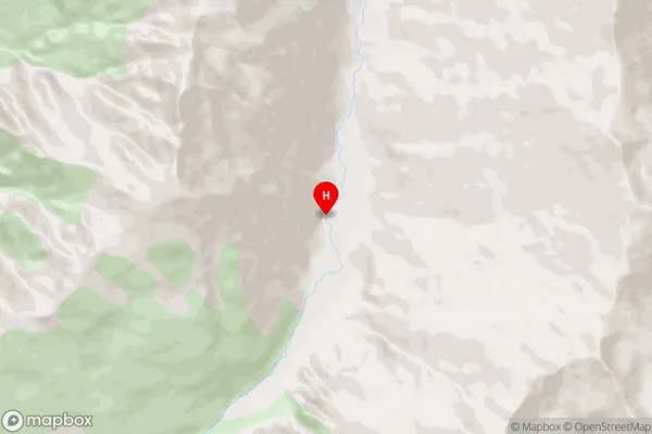
Wye CreekWye Creek Area Map (Street)
Local Authority
Queenstown-Lakes DistrictFull Address
Wye Creek, Queenstown-Lakes District, New ZealandAddress Type
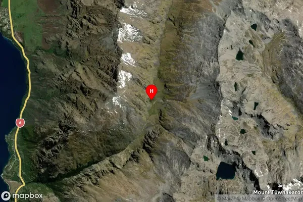
Locality in Town QueenstownWye Creek Suburb Map (Satellite)
Country
Main Region in AU
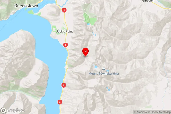
OtagoWye Creek Region Map
Coordinates
-45.1194207,168.8038534 (latitude/longitude)Distances
The distance from Wye Creek, Queenstown, Queenstown-Lakes District to NZ Top 10 Cities