Westport Area, Westport Postcode(7825) & Map in Westport
Westport Area, Westport Postcode(7825) & Map in Westport, Buller District, New Zealand
Westport, Buller District, New Zealand
Westport Postcodes
Westport Area (estimated)
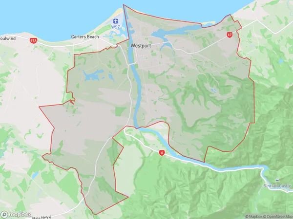
151.6 square kilometersWestport Population (estimated)
5101 people live in Westport, West Coast, NZWestport Suburb Area Map (Polygon)
Westport Introduction
Westport is a small town on the West Coast of New Zealand's South Island. It is known for its natural beauty, including the imposing Karangahake Gorge and the tranquil Hokitika River. The town is a popular destination for tourists and outdoor enthusiasts, with many opportunities for hiking, fishing, and exploring the surrounding area.Region
Major City
Suburb Name
WestportOther Name(s)
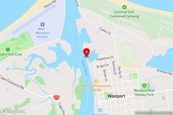
Sergeants Hill, Te KuhaWestport Area Map (Street)
Local Authority
Buller DistrictFull Address
Westport, Buller District, New ZealandAddress Type
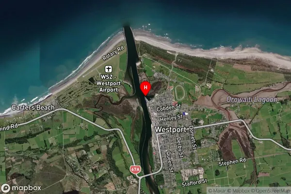
Suburb in Town WestportWestport Suburb Map (Satellite)
Country
Main Region in AU
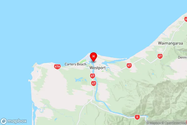
West CoastWestport Region Map
Coordinates
-41.7456,171.5947 (latitude/longitude)Distances
The distance from Westport, Westport, Buller District to NZ Top 10 Cities