Round Hill Area, Round Hill Postcode(9881) & Map in Round Hill
Round Hill Area, Round Hill Postcode(9881) & Map in Round Hill, Southland District, New Zealand
Round Hill, Southland District, New Zealand
Round Hill Postcodes
Round Hill Area (estimated)
81.0 square kilometersRound Hill Population (estimated)
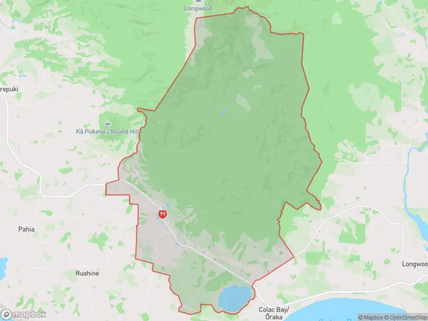
29 people live in Round Hill, Southland, NZRound Hill Suburb Area Map (Polygon)
Round Hill Introduction
Round Hill is a rural locality in Southland, New Zealand. It is located on the Aparima River, 10 km northwest of Riverton, and 112 km southeast of Invercargill. The area was originally settled by Māori and was known for its rich gold mining history. Today, it is a popular tourist destination and home to a variety of outdoor activities, including hiking, fishing, and hunting. The Round Hill Conservation Park is located in the area and is a popular spot for birdwatching.Region
0Suburb Name
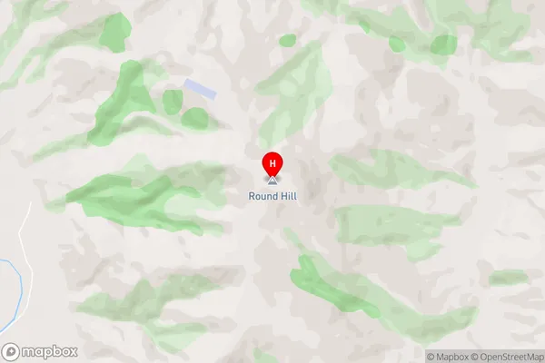
Round HillRound Hill Area Map (Street)
Local Authority
Southland DistrictFull Address
Round Hill, Southland District, New ZealandAddress Type
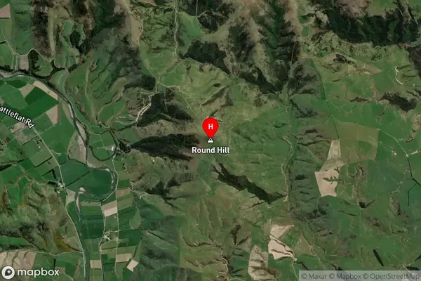
Locality in Town Riverton/AparimaRound Hill Suburb Map (Satellite)
Country
Main Region in AU
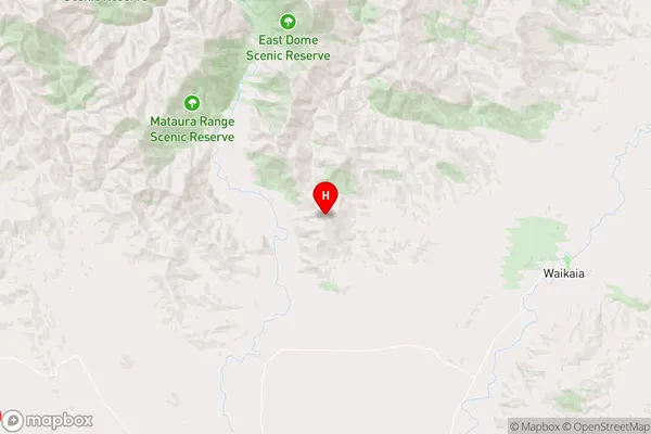
SouthlandRound Hill Region Map
Coordinates
-45.700417,168.699055 (latitude/longitude)Distances
The distance from Round Hill, Riverton/Aparima, Southland District to NZ Top 10 Cities