Claudelands Area, Claudelands Postcode(3214) & Map in Claudelands
Claudelands Area, Claudelands Postcode(3214) & Map in Claudelands, Hamilton City, New Zealand
Claudelands, Hamilton City, New Zealand
Claudelands Area (estimated)
1.8 square kilometersClaudelands Population (estimated)
3411 people live in Claudelands, Hamilton, NZClaudelands Suburb Area Map (Polygon)
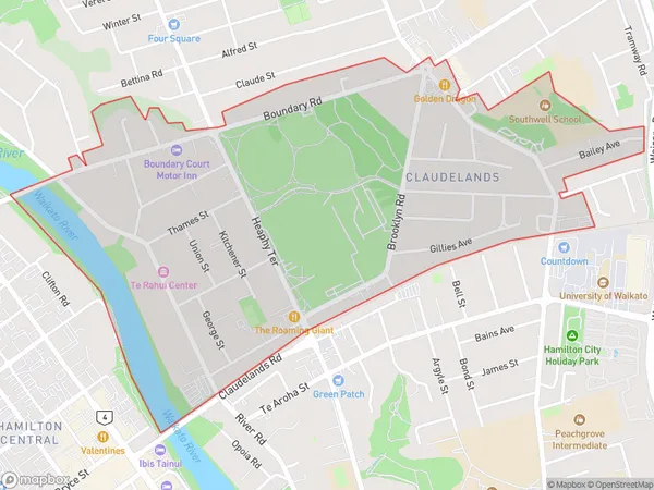
Claudelands Introduction
Claudelands is a suburb of Hamilton, New Zealand, with a population of around 10,000 people. It is known for its historic buildings, including Claudelands Castle, and its popular Claudelands Events Centre, which hosts a variety of events and concerts. The suburb is also home to a number of parks and recreational facilities, including Claudelands Park and the Claudelands Aquatic Centre.Region
Major City
Suburb Name
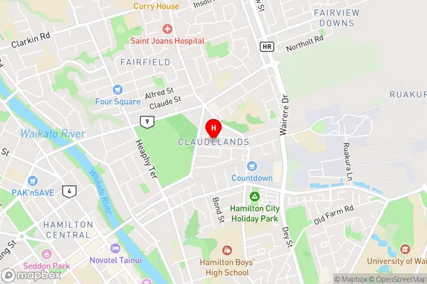
ClaudelandsClaudelands Area Map (Street)
Local Authority
Hamilton CityFull Address
Claudelands, Hamilton City, New ZealandAddress Type
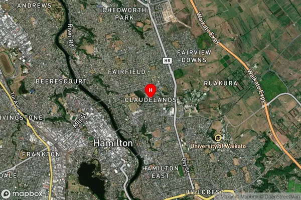
Suburb in City HamiltonClaudelands Suburb Map (Satellite)
Country
Main Region in AU
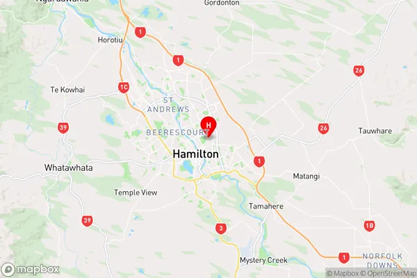
WaikatoClaudelands Region Map
Coordinates
-37.7762014,175.2946044 (latitude/longitude)Distances
The distance from Claudelands, Hamilton, Hamilton City to NZ Top 10 Cities