Lovells Flat Area, Lovells Flat Postcode & Map in Lovells Flat
Lovells Flat Area, Lovells Flat Postcode & Map in Lovells Flat, Clutha District, New Zealand
Lovells Flat, Clutha District, New Zealand
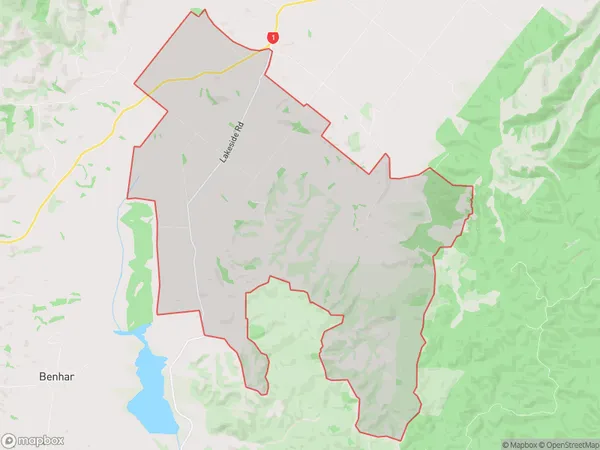
Lovells Flat Area (estimated)
46.2 square kilometersLovells Flat Population (estimated)
87 people live in Lovells Flat, Otago, NZLovells Flat Suburb Area Map (Polygon)
Lovells Flat Introduction
Lovells Flat is a historic settlement located in Milton, Otago, New Zealand. It was established in the 1860s by Scottish settlers and is known for its picturesque stone buildings and stunning views of the surrounding countryside. The settlement was once a thriving farming community but has since declined in population. Today, it is a popular tourist destination and is home to a variety of historic buildings, including the Lovells Flat Church and the Old Mill.Region
Major City
Suburb Name
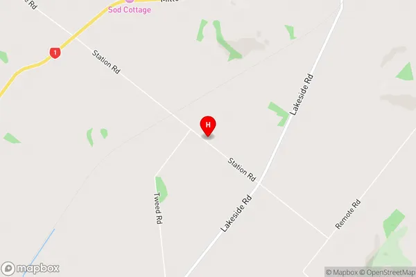
Lovells FlatLovells Flat Area Map (Street)
Local Authority
Clutha DistrictFull Address
Lovells Flat, Clutha District, New ZealandAddress Type
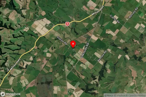
Locality in Town MiltonLovells Flat Suburb Map (Satellite)
Country
Main Region in AU
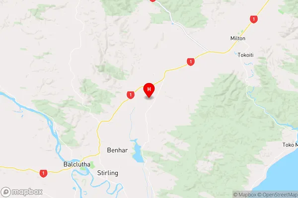
OtagoLovells Flat Region Map
Coordinates
-46.1751202,169.8396635 (latitude/longitude)Distances
The distance from Lovells Flat, Milton, Clutha District to NZ Top 10 Cities