Lake Pearson Area, Lake Pearson Postcode(7580) & Map in Lake Pearson
Lake Pearson Area, Lake Pearson Postcode(7580) & Map in Lake Pearson, Selwyn District, New Zealand
Lake Pearson, Selwyn District, New Zealand
Lake Pearson Postcodes
Lake Pearson Area (estimated)
-1.2 square kilometersLake Pearson Population (estimated)
5 people live in Lake Pearson, Canterbury, NZLake Pearson Suburb Area Map (Polygon)
Not available for nowLake Pearson Introduction
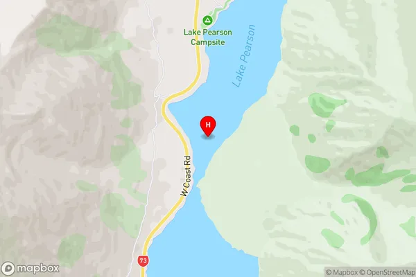
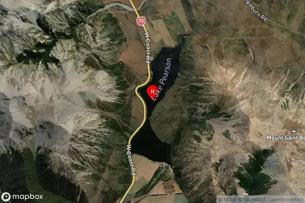
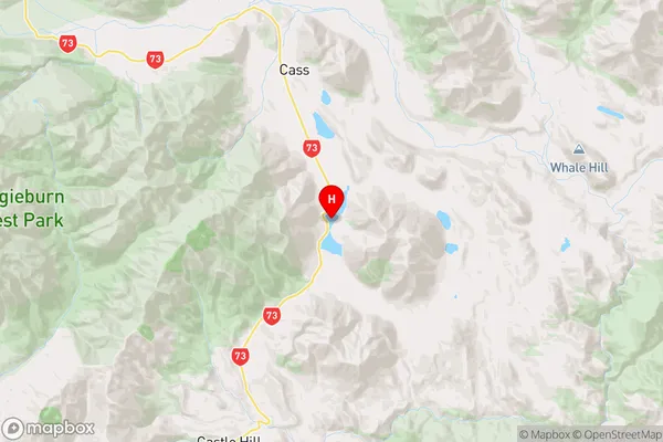
Lake Pearson is a small glacially formed lake located in the Arthur's Pass National Park in Canterbury, New Zealand. It is surrounded by stunning mountain scenery and is a popular spot for hiking, camping, and fishing. The lake is fed by the Pearson River and has a surface area of approximately 1.2 square kilometers.Region
0Suburb Name
Lake PearsonOther Name(s)
Cass, CraigieburnLake Pearson Area Map (Street)
Local Authority
Selwyn DistrictFull Address
Lake Pearson, Selwyn District, New ZealandAddress Type
Locality in Major Locality Arthur's PassLake Pearson Suburb Map (Satellite)
Country
Main Region in AU
CanterburyLake Pearson Region Map
Coordinates
-43.1045595,171.77960828168 (latitude/longitude)Distances
The distance from Lake Pearson, Arthur's Pass, Selwyn District to NZ Top 10 Cities