Inland Road Area, Inland Road Postcode & Map in Inland Road
Inland Road Area, Inland Road Postcode & Map in Inland Road, Kaikoura District,
Inland Road, Kaikoura District,
Inland Road Area (estimated)
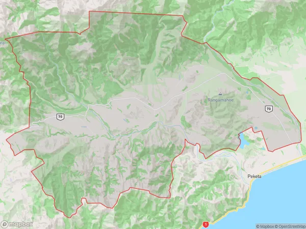
216.2 square kilometersInland Road Population (estimated)
136 people live in Inland Road, Kaikoura, NZInland Road Suburb Area Map (Polygon)
Inland Road Introduction
Inland Road is a state highway in New Zealand's Canterbury region, connecting Kaikoura with the Lewis Pass. It is known for its scenic views of the Southern Alps and the Kaikoura Ranges. The road was built in the 1970s and is a popular route for tourists and locals alike.Region
Major City
Suburb Name
Inland RoadInland Road Area Map (Street)
Local Authority
Kaikoura DistrictFull Address
Inland Road, Kaikoura District,Address Type
Locality in Town KaikouraInland Road Suburb Map (Satellite)
Country
Main Region in AU
CanterburyInland Road Region Map
Coordinates
0,0 (latitude/longitude)Distances
The distance from Inland Road, Kaikoura, Kaikoura District to NZ Top 10 Cities