Lake Hawea Area, Lake Hawea Postcode(9345) & Map in Lake Hawea, Central Otago District
Lake Hawea Area, Lake Hawea Postcode(9345) & Map in Lake Hawea, Central Otago District, Queenstown-Lakes District, New Zealand
Lake Hawea, Central Otago District, Queenstown-Lakes District, New Zealand
Lake Hawea Postcodes
Lake Hawea Area (estimated)
42.4 square kilometersLake Hawea Population (estimated)
1930 people live in Lake Hawea, Otago, NZLake Hawea Suburb Area Map (Polygon)
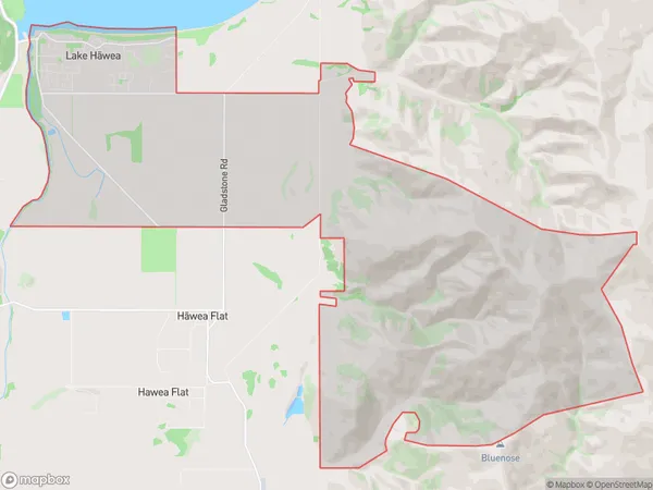
Lake Hawea Introduction
Lake Hawea is a large glacially formed lake in the South Island of New Zealand. It is located in the Otago region and is known for its stunning blue color, which is caused by the presence of minerals such as calcium carbonate. The lake is also home to a variety of wildlife, including birds, fish, and seals. Lake Hawea is a popular destination for outdoor activities such as hiking, skiing, and fishing, and is also a popular spot for photography.Region
Major City
Suburb Name
Lake Hawea (Maori Name: Lake Hāwea)Lake Hawea Area Map (Street)
Local Authority
Central Otago District, Queenstown-Lakes DistrictFull Address
Lake Hawea, Central Otago District, Queenstown-Lakes District, New ZealandAddress Type
Locality in Town Lake HaweaLake Hawea Suburb Map (Satellite)
Country
Main Region in AU
OtagoLake Hawea Region Map
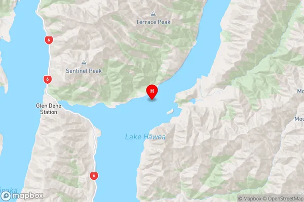
Coordinates
-44.439223,169.325669576346 (latitude/longitude)Distances
The distance from Lake Hawea, Lake Hawea, Central Otago District, Queenstown-Lakes District to NZ Top 10 Cities