Clarks Junction Area, Clarks Junction Postcode(9054) & Map in Clarks Junction
Clarks Junction Area, Clarks Junction Postcode(9054) & Map in Clarks Junction, Dunedin City, New Zealand
Clarks Junction, Dunedin City, New Zealand
Clarks Junction Postcodes
Clarks Junction Area (estimated)
134.6 square kilometersClarks Junction Population (estimated)
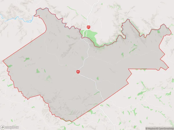
27 people live in Clarks Junction, Otago, NZClarks Junction Suburb Area Map (Polygon)
Clarks Junction Introduction
Clarks Junction is a small rural community in Outram, Otago, New Zealand. It is located on the Taieri River, 12 km south of Outram and 105 km north of Dunedin. The area was first settled in the 1860s by Scottish settlers and was named after the Clark family, who were prominent farmers in the region. The community today has a primary school, a post office, a hotel, and a few shops. The surrounding area is known for its farming and forestry, with many scenic walks and trails.Region
Major City
Suburb Name
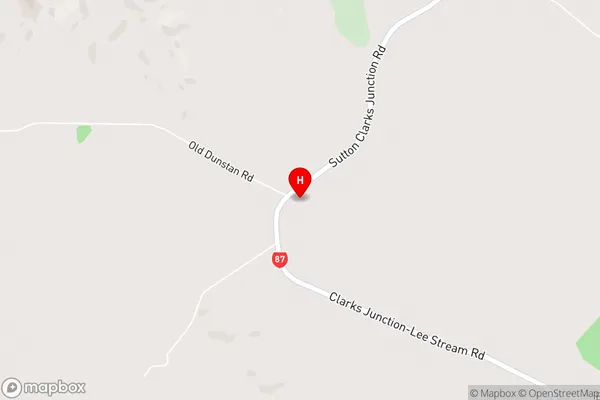
Clarks JunctionClarks Junction Area Map (Street)
Local Authority
Dunedin CityFull Address
Clarks Junction, Dunedin City, New ZealandAddress Type
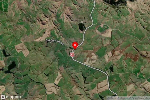
Locality in Town OutramClarks Junction Suburb Map (Satellite)
Country
Main Region in AU
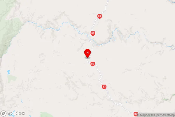
OtagoClarks Junction Region Map
Coordinates
-45.7263675,170.048672 (latitude/longitude)Distances
The distance from Clarks Junction, Outram, Dunedin City to NZ Top 10 Cities