Dunganville Area, Dunganville Postcode(7805) & Map in Dunganville
Dunganville Area, Dunganville Postcode(7805) & Map in Dunganville, Grey District, New Zealand
Dunganville, Grey District, New Zealand
Dunganville Postcodes
Dunganville Area (estimated)
233.1 square kilometersDunganville Population (estimated)
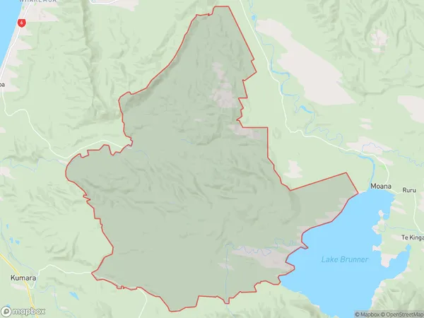
30 people live in Dunganville, West Coast, NZDunganville Suburb Area Map (Polygon)
Dunganville Introduction
Dunganville is a small rural community located in the Arnold Valley of the West Coast of New Zealand. It is known for its stunning natural scenery, including mountains, forests, and rivers, and for its peaceful and relaxed atmosphere. The community has a population of around 100 people and is home to a variety of businesses, including a hotel, a cafe, and a convenience store. Dunganville is also a popular destination for outdoor enthusiasts, with many hiking and biking trails nearby.Region
0Suburb Name
DunganvilleOther Name(s)
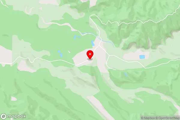
Greenstone (Pounamu)Dunganville Area Map (Street)
Local Authority
Grey DistrictFull Address
Dunganville, Grey District, New ZealandAddress Type
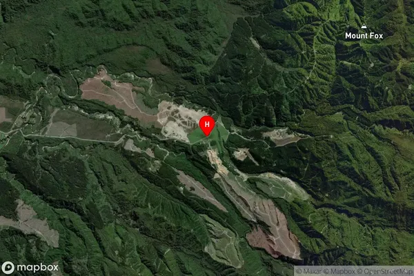
Locality in Major Locality Arnold ValleyDunganville Suburb Map (Satellite)
Country
Main Region in AU
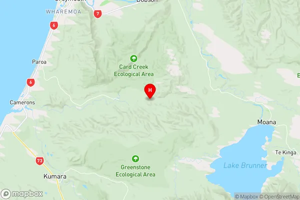
West CoastDunganville Region Map
Coordinates
-42.5526976,171.3175284 (latitude/longitude)Distances
The distance from Dunganville, Arnold Valley, Grey District to NZ Top 10 Cities