Chaslands Area, Chaslands Postcode & Map in Chaslands
Chaslands Area, Chaslands Postcode & Map in Chaslands, Clutha District, New Zealand
Chaslands, Clutha District, New Zealand
Chaslands Area (estimated)
-1.2 square kilometersChaslands Population (estimated)
8 people live in Chaslands, Otago, NZChaslands Suburb Area Map (Polygon)
Not available for nowChaslands Introduction
Chaslands is a small rural community in the Otago region of New Zealand, located approximately 20 kilometers south of Dunedin. It is known for its picturesque rural scenery, including rolling hills, farmland, and the Taieri River. The community has a primary school, a post office, and a small supermarket. Chaslands is a popular destination for outdoor activities such as hiking, cycling, and fishing, with several walking and cycling trails in the area.Region
Major City
Suburb Name
ChaslandsOther Name(s)
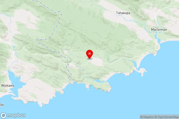
TautukuChaslands Area Map (Street)

Local Authority
Clutha DistrictFull Address
Chaslands, Clutha District, New ZealandAddress Type
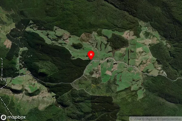
Locality in Town OwakaChaslands Suburb Map (Satellite)
Country
Main Region in AU
OtagoChaslands Region Map
Coordinates
-46.5863842,169.3151736 (latitude/longitude)Distances
The distance from Chaslands, Owaka, Clutha District to NZ Top 10 Cities