Alma Area, Alma Postcode(9401) & Map in Alma
Alma Area, Alma Postcode(9401) & Map in Alma, Waitaki District, New Zealand
Alma, Waitaki District, New Zealand
Alma Postcodes
Alma Area (estimated)
11.4 square kilometersAlma Population (estimated)
182 people live in Alma, Otago, NZAlma Suburb Area Map (Polygon)

Alma Introduction
Alma is a small town in Otago, New Zealand, located on the banks of the Oamaru River. It is known for its historic stone buildings, including the Alma Hotel, which is one of the oldest hotels in New Zealand. The town also has a rich cultural heritage, with a museum and a community arts center. Alma is a popular destination for tourists and locals alike, with many outdoor activities to enjoy, such as hiking, cycling, and fishing.Region
Major City
Suburb Name
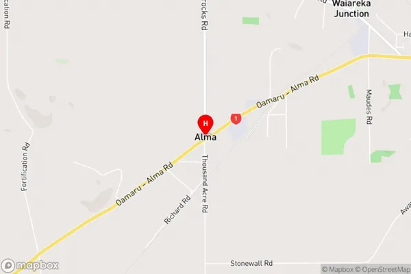
AlmaAlma Area Map (Street)
Local Authority
Waitaki DistrictFull Address
Alma, Waitaki District, New ZealandAddress Type
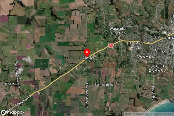
Locality in Town OamaruAlma Suburb Map (Satellite)
Country
Main Region in AU
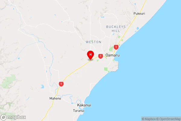
OtagoAlma Region Map
Coordinates
-45.1083467,170.9182978 (latitude/longitude)Distances
The distance from Alma, Oamaru, Waitaki District to NZ Top 10 Cities