Hawkesbury Area, Hawkesbury Postcode(7204) & Map in Hawkesbury
Hawkesbury Area, Hawkesbury Postcode(7204) & Map in Hawkesbury, Marlborough District,
Hawkesbury, Marlborough District,
Hawkesbury Postcodes
Hawkesbury Area (estimated)
52.7 square kilometersHawkesbury Population (estimated)
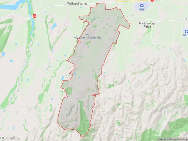
313 people live in Hawkesbury, Renwick, NZHawkesbury Suburb Area Map (Polygon)
Hawkesbury Introduction
Hawkesbury, Renwick, Marlborough, New Zealand, is a rural area with a population of around 1,200 people. It is located in the Marlborough region, known for its wine production, and is surrounded by picturesque farmland and forests. The area has a primary school, a post office, a convenience store, and a community hall. The nearby rivers and lakes offer opportunities for fishing, swimming, and boating, and the region is popular with outdoor enthusiasts and nature lovers.Region
Major City
Suburb Name
HawkesburyHawkesbury Area Map (Street)
Local Authority
Marlborough DistrictFull Address
Hawkesbury, Marlborough District,Address Type
Locality in Town RenwickHawkesbury Suburb Map (Satellite)
Country
Main Region in AU
MarlboroughHawkesbury Region Map
Coordinates
0,0 (latitude/longitude)Distances
The distance from Hawkesbury, Renwick, Marlborough District to NZ Top 10 Cities