Koutu Area, Koutu Postcode(3045) & Map in Koutu
Koutu Area, Koutu Postcode(3045) & Map in Koutu, Rotorua District, New Zealand
Koutu, Rotorua District, New Zealand
Koutu Area (estimated)
1.2 square kilometersKoutu Population (estimated)
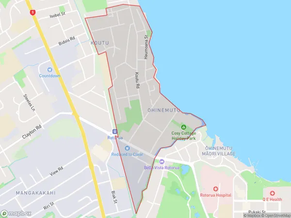
2245 people live in Koutu, Rotorua, NZKoutu Suburb Area Map (Polygon)
Koutu Introduction
Koutu is a popular tourist destination in Rotorua, Bay of Plenty, New Zealand. It is a geothermal area with hot springs, geysers, and mud pools. Visitors can take boat tours on the lake, explore the walking trails, and learn about the local Maori culture. The area is also home to the famous Koutu Rocks, a group of boulders that resemble giant fish.Region
Major City
Suburb Name
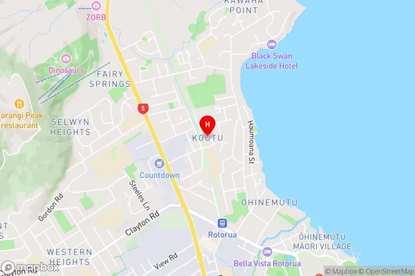
KoutuKoutu Area Map (Street)
Local Authority
Rotorua DistrictFull Address
Koutu, Rotorua District, New ZealandAddress Type
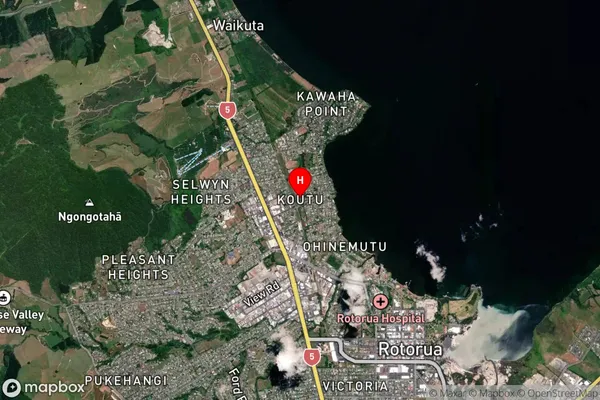
Suburb in City RotoruaKoutu Suburb Map (Satellite)
Country
Main Region in AU
Bay of PlentyKoutu Region Map

Coordinates
-38.118022,176.234044 (latitude/longitude)Distances
The distance from Koutu, Rotorua, Rotorua District to NZ Top 10 Cities