Matahina Forest Area, Matahina Forest Postcode & Map in Matahina Forest
Matahina Forest Area, Matahina Forest Postcode & Map in Matahina Forest, Whakatane District,
Matahina Forest, Whakatane District,
Matahina Forest Area (estimated)
287.1 square kilometersMatahina Forest Population (estimated)
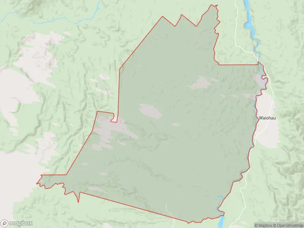
3 people live in Matahina Forest, Whakatane, NZMatahina Forest Suburb Area Map (Polygon)
Matahina Forest Introduction
Matahina Forest is a privately owned forest located in the Bay of Plenty, New Zealand. It is known for its scenic walking tracks, mountain biking trails, and stunning natural beauty. The forest is home to a variety of plant and animal species, including native birds, reptiles, and insects. Visitors can enjoy picnicking, hiking, and mountain biking in the forest, and there are also several accommodation options available nearby.Region
Major City
Suburb Name
Matahina ForestOther Name(s)
Kaingaroa Forest North, MatahinaMatahina Forest Area Map (Street)
Local Authority
Whakatane DistrictFull Address
Matahina Forest, Whakatane District,Address Type
Locality in Town WhakataneMatahina Forest Suburb Map (Satellite)
Country
Main Region in AU
Bay of PlentyMatahina Forest Region Map
Coordinates
0,0 (latitude/longitude)Distances
The distance from Matahina Forest, Whakatane, Whakatane District to NZ Top 10 Cities