Minginui Area, Minginui Postcode(3120) & Map in Minginui
Minginui Area, Minginui Postcode(3120) & Map in Minginui, Whakatane District, New Zealand
Minginui, Whakatane District, New Zealand
Minginui Postcodes
Minginui Area (estimated)
92.2 square kilometersMinginui Population (estimated)
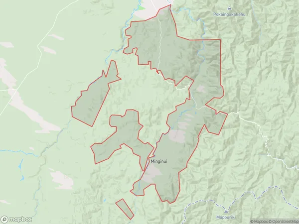
218 people live in Minginui, Bay of Plenty, NZMinginui Suburb Area Map (Polygon)
Minginui Introduction
Minginui is a small rural community in the Bay of Plenty, New Zealand. It is located on State Highway 25 and is surrounded by stunning natural scenery, including mountains, forests, and rivers. The community has a population of around 100 people and is known for its friendly community spirit and traditional Maori culture. The area is popular with outdoor enthusiasts, with many opportunities for hiking, fishing, and hunting. There is also a local school and a community hall, which hosts regular events and gatherings.Region
0Suburb Name
MinginuiOther Name(s)
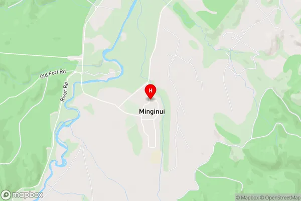
Kaingaroa Forest North, Te WhaitiMinginui Area Map (Street)
Local Authority
Whakatane DistrictFull Address
Minginui, Whakatane District, New ZealandAddress Type
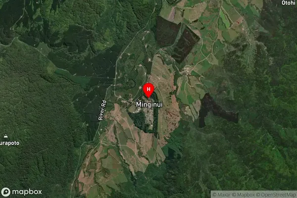
Locality in Major Locality MinginuiMinginui Suburb Map (Satellite)
Country
Main Region in AU
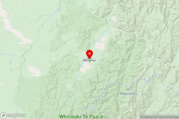
Bay of PlentyMinginui Region Map
Coordinates
-38.6393151,176.7320948 (latitude/longitude)Distances
The distance from Minginui, Minginui, Whakatane District to NZ Top 10 Cities