Moerewa Area, Moerewa Postcode(0211) & Map in Moerewa
Moerewa Area, Moerewa Postcode(0211) & Map in Moerewa, Far North District, New Zealand
Moerewa, Far North District, New Zealand
Moerewa Area (estimated)
134.2 square kilometersMoerewa Population (estimated)
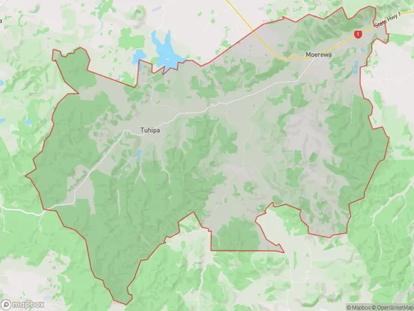
2389 people live in Moerewa, Bay of Islands-Whangaroa Community, NZMoerewa Suburb Area Map (Polygon)
Moerewa Introduction
Moerewa is a small town in Northland, New Zealand, with a population of around 100 people. It is located on the banks of the Moerewa River and is known for its beautiful natural surroundings, including waterfalls and forests. The town has a primary school, a post office, and a small supermarket. Moerewa is a popular destination for outdoor enthusiasts, with many hiking and fishing opportunities in the surrounding area.Region
Major City
Suburb Name
MoerewaOther Name(s)
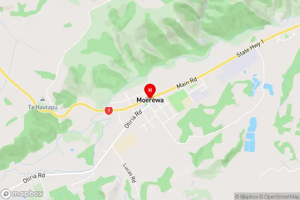
Kawiti, Ngapipito, Orauta, Otiria, Pokapu, TuhipaMoerewa Area Map (Street)
Local Authority
Far North DistrictFull Address
Moerewa, Far North District, New ZealandAddress Type
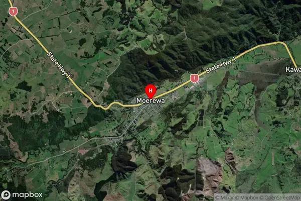
Suburb in Town MoerewaMoerewa Suburb Map (Satellite)
Country
Main Region in AU
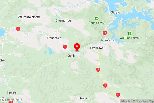
NorthlandMoerewa Region Map
Coordinates
-35.3880233,174.014228 (latitude/longitude)Distances
The distance from Moerewa, Moerewa, Far North District to NZ Top 10 Cities