Nihotupu Area, Nihotupu Postcode(0604) & Map in Nihotupu
Nihotupu Area, Nihotupu Postcode(0604) & Map in Nihotupu, Auckland, New Zealand
Nihotupu, Auckland, New Zealand
Nihotupu Postcodes
Nihotupu Area (estimated)
9.9 square kilometersNihotupu Population (estimated)
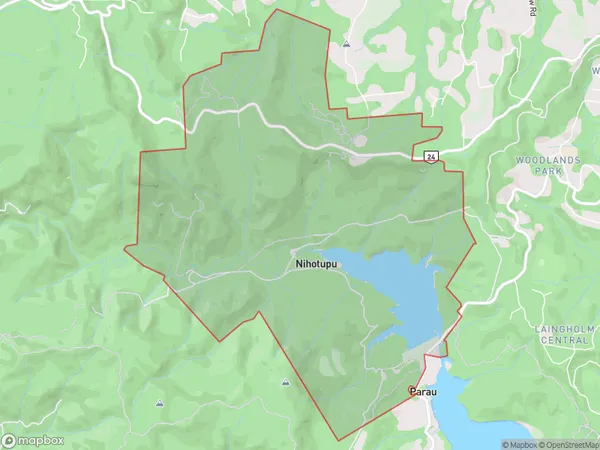
2 people live in Nihotupu, Waitākere Ranges, NZNihotupu Suburb Area Map (Polygon)
Nihotupu Introduction
Nihotupu is a small rural community located in the Rodney District of Auckland, New Zealand. It is known for its stunning natural surroundings, including lush forests, waterfalls, and a picturesque lake. The community has a strong sense of community and a rich cultural heritage, with many residents practicing traditional Maori customs and beliefs. Nihotupu is also home to a variety of wildlife, including native birds, reptiles, and insects.Region
Major City
Suburb Name
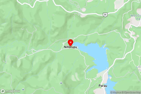
NihotupuNihotupu Area Map (Street)
Local Authority
AucklandFull Address
Nihotupu, Auckland, New ZealandAddress Type
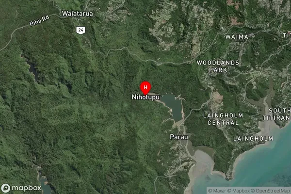
Suburb in City AucklandNihotupu Suburb Map (Satellite)
Country
Main Region in AU
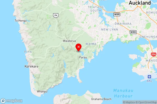
AucklandNihotupu Region Map
Coordinates
-36.95592,174.60226 (latitude/longitude)Distances
The distance from Nihotupu, Auckland, Auckland to NZ Top 10 Cities