Owhata Area, Owhata Postcode(3042) & Map in Owhata
Owhata Area, Owhata Postcode(3042) & Map in Owhata, Rotorua District, New Zealand
Owhata, Rotorua District, New Zealand
Owhata Area (estimated)
33.7 square kilometersOwhata Population (estimated)
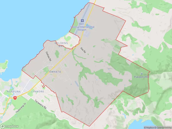
7101 people live in Owhata, Rotorua, NZOwhata Suburb Area Map (Polygon)
Owhata Introduction
Owhata is a small rural community in the Bay of Plenty, New Zealand. It is known for its stunning natural surroundings, including the Owhata Falls and the Owhata Forest. The community has a strong Maori culture and is home to a number of historic buildings. Visitors can enjoy hiking, fishing, and exploring the local wildlife.Region
Major City
Suburb Name
Owhata (Maori Name: Ōwhata)Other Name(s)
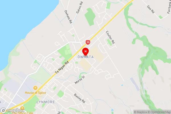
RotokawaOwhata Area Map (Street)
Local Authority
Rotorua DistrictFull Address
Owhata, Rotorua District, New ZealandAddress Type
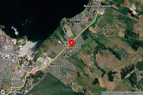
Suburb in City RotoruaOwhata Suburb Map (Satellite)
Country
Main Region in AU
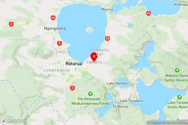
Bay of PlentyOwhata Region Map
Coordinates
-38.1361587,176.2972576 (latitude/longitude)Distances
The distance from Owhata, Rotorua, Rotorua District to NZ Top 10 Cities