Puketapu Area, Puketapu Postcode(4120) & Map in Puketapu
Puketapu Area, Puketapu Postcode(4120) & Map in Puketapu, Hastings District, New Zealand
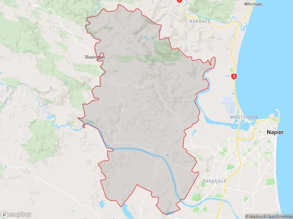
Puketapu, Hastings District, New Zealand
Puketapu Postcodes
Puketapu Area (estimated)
198.5 square kilometersPuketapu Population (estimated)
1754 people live in Puketapu, Hawke's Bay, NZPuketapu Suburb Area Map (Polygon)
Puketapu Introduction
Puketapu is a small beachside community located in Napier, Hawke's Bay, New Zealand. It is known for its stunning natural beauty, including golden sand beaches, crystal-clear waters, and stunning coastal views. The area is popular with tourists and locals alike for its peaceful atmosphere, outdoor activities, and close proximity to the city of Napier. Puketapu also has a rich cultural heritage, with several historic buildings and landmarks located within the community.Region
Major City
Suburb Name
PuketapuOther Name(s)
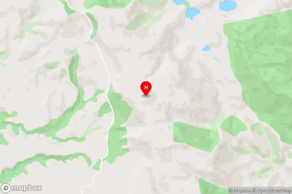
Kouturoa, MoteoPuketapu Area Map (Street)
Local Authority
Hastings DistrictFull Address
Puketapu, Hastings District, New ZealandAddress Type
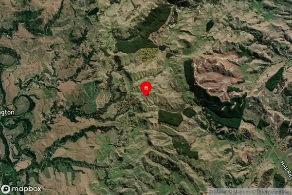
Locality in City NapierPuketapu Suburb Map (Satellite)
Country
Main Region in AU
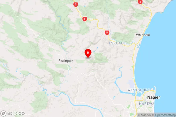
Hawke's BayPuketapu Region Map
Coordinates
-39.4199094,176.7640268 (latitude/longitude)Distances
The distance from Puketapu, Napier, Hastings District to NZ Top 10 Cities