Raukawa Area, Raukawa Postcode & Map in Raukawa
Raukawa Area, Raukawa Postcode & Map in Raukawa, Hastings District, New Zealand
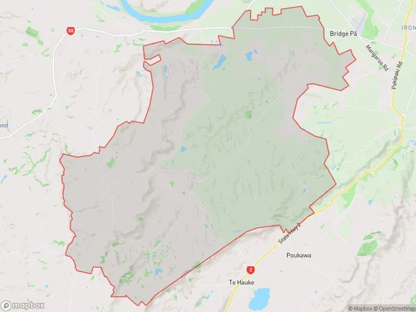
Raukawa, Hastings District, New Zealand
Raukawa Area (estimated)
181.5 square kilometersRaukawa Population (estimated)
514 people live in Raukawa, Kaikohe-Hokianga Community, NZRaukawa Suburb Area Map (Polygon)
Raukawa Introduction
Raukawa is a small rural community in Northland, New Zealand, with a population of around 100 people. It is located on the banks of the Raukawa River and is known for its beautiful natural surroundings, including lush forests, waterfalls, and a variety of bird species. The community is also home to a historic pa site, which is believed to have been inhabited by early Māori settlers. Raukawa is a popular destination for tourists and outdoor enthusiasts, with many opportunities for hiking, fishing, and kayaking.Region
Major City
Suburb Name
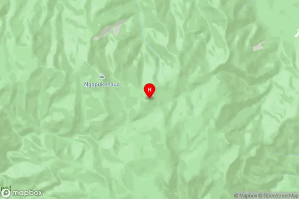
RaukawaRaukawa Area Map (Street)
Local Authority
Hastings DistrictFull Address
Raukawa, Hastings District, New ZealandAddress Type
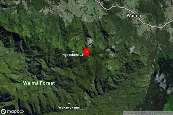
Locality in Major Locality RaukawaRaukawa Suburb Map (Satellite)
Country
Main Region in AU
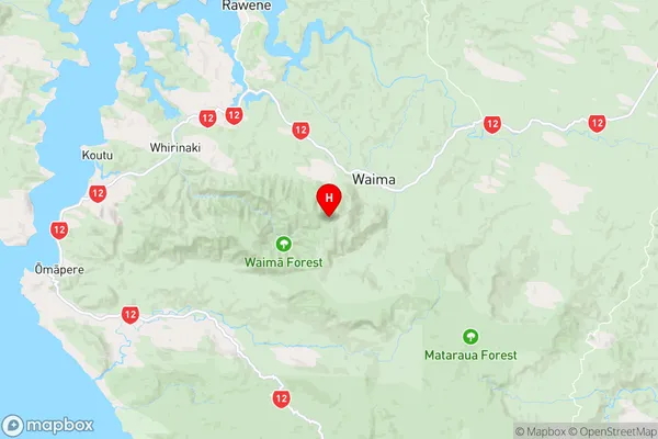
NorthlandRaukawa Region Map
Coordinates
-35.5092148,173.5578197 (latitude/longitude)Distances
The distance from Raukawa, Raukawa, Hastings District to NZ Top 10 Cities